Channel & Berth Profile
Pilotage, Tugs & Services
Pilotage compulsoryYES
Tug assistanceYES
Potable waterYES
MedicalYES
Garbage disposalYES
Facilities & Capabilities
Container—
Ro-Ro—
Liquid bulk—
Dry bulk—
Oil terminal—
Break bulk—
Dry dock—
Repairs—
BunkeringYES
Rail linkYES
Dangerous cargo—
ISPS security—
Harbour Specifications
Harbour size
Very Small
Harbour type
Coastal (Breakwater)
Shelter
Fair
Water body
Gulf of Finland; Baltic Sea; North Atlantic Ocean
Pilotage
Yes
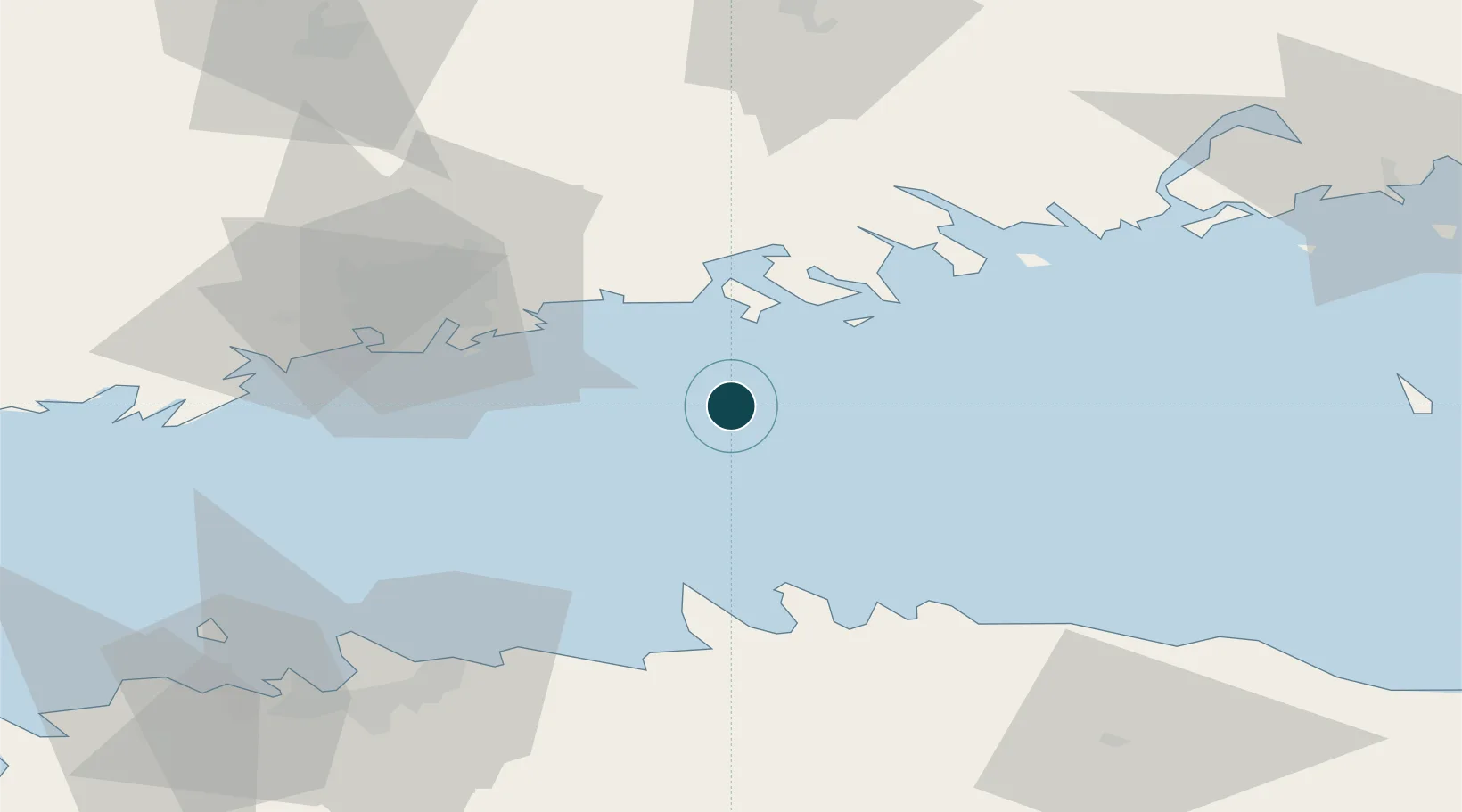
Location
Nearby Logistics Neighbours
Cities
- 1Kilpilahti (Sköldvik)30 km
- 2Helsingfors (Helsinki)30 km
- 3Vuosaari (Nordsjö)30 km
- 4Suomenlinna (Sveaborg)35 km
- 5Malmi40 km
Airports
- 1Helsinki Vantaa Airport47 km
- 2Helsinki East-Redstone Aerodrome75 km
- 3Tallinn Linnahall Heliport80 km
- 4Lennart Meri Tallinn Airport81 km
- 5Ämari Air Base116 km
Trade Zones
- 1Muuga Free Zone88 km
- 2Port of Hamina-Kotka89 km
- 3Paldiski Free Zone115 km
- 4Port of Sillamäe138 km
- 5Freeport of Hanko152 km
DatabookThe Record of Consolidated Knowledge
Finland beyond logistics?