Transport Functions
Port
Hub Profile
Place type
Populated place
Region
Suez
Population
45,552
Time zone
Africa/Cairo
Elevation
30 m
Logistics facilities
2
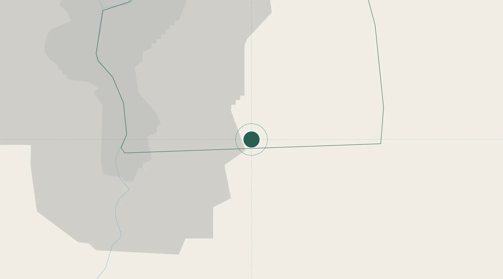
Location
Nearby Logistics Neighbours
Cities
- 1Al Minya32 km
- 2Badr39 km
- 3Bahtim50 km
- 410th of Ramadan City57 km
- 5Qalyub57 km
Ports
- 1Sokhna Port Gas Tanker Terminal74 km
- 2El-Adabiya83 km
- 3As Suways93 km
- 4Ras Sudr108 km
- 5El Ismailiya109 km
Airports
- 1Capital International Airport38 km
- 2Cairo International Airport41 km
- 3Almaza Air Force Base41 km
- 4Bilbeis Air Base67 km
- 5Bilbeis 2 Airfield70 km
Trade Zones
DatabookThe Record of Consolidated Knowledge
Egypt beyond logistics?