Transport Functions
Multimodal
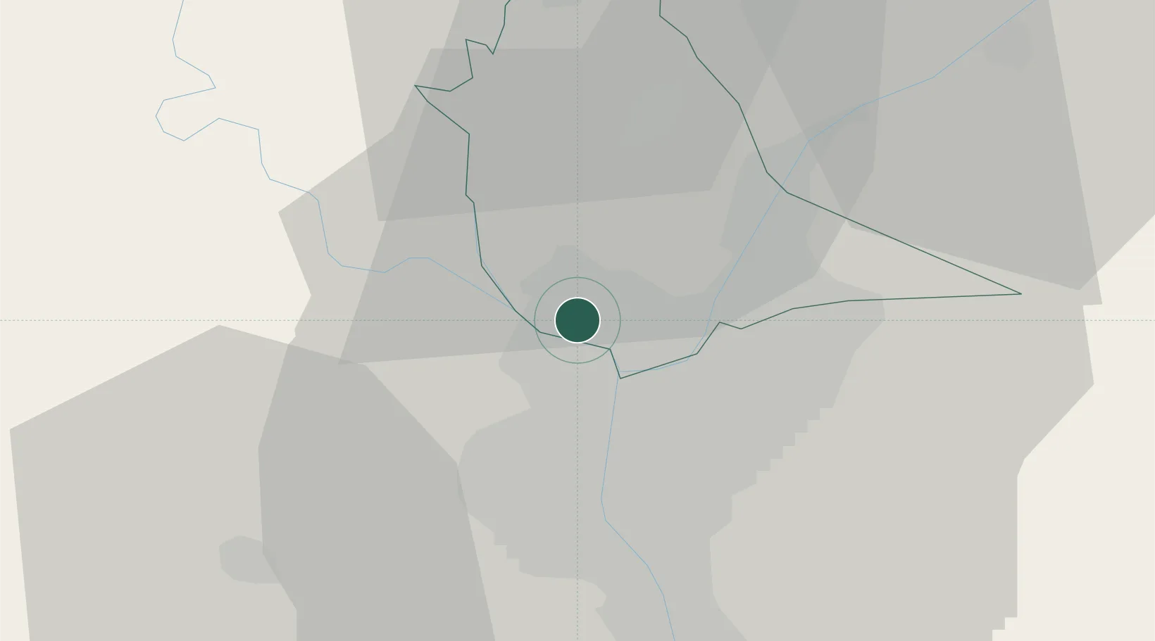
Hub Profile
Place type
Populated place
Region
Qalyubia
Population
156,363
Time zone
Africa/Cairo
Elevation
22 m
Location
Nearby Logistics Neighbours
Cities
- 1Bahtim7 km
- 2Sixth of October City30 km
- 3Banha32 km
- 46th October40 km
- 5Quesna43 km
Ports
- 1El Ismailiya114 km
- 2Sokhna Port Gas Tanker Terminal125 km
- 3Ain Sukhna Terminal126 km
- 4El-Adabiya126 km
- 5As Suways132 km
Airports
- 1Almaza Air Force Base18 km
- 2Cairo International Airport20 km
- 3Cairo West Air Base28 km
- 4Sphinx International Airport30 km
- 5Bilbeis Air Base46 km
Trade Zones
DatabookThe Record of Consolidated Knowledge
Egypt beyond logistics?