Medium airport · Egypt

Almaza Air Force BaseHEAZ
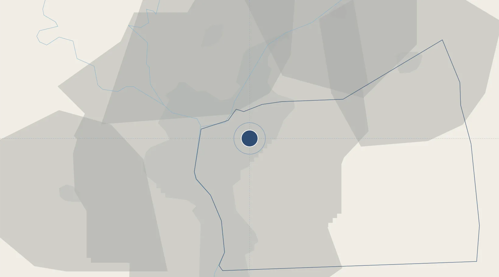
30.0917°, 31.3597°
6,726 ft
Longest runway
2
Runways
246 ft
Elevation

Runway & Layout

Almaza Air Force Base runway & taxiway layout
Runway & taxiway layout — OpenStreetMap (ODbL) / OurAirports

Radio Frequencies

TWR
118.1 MHz
CAIRO TWR
TWR
132.9 MHz
APP
119.05 MHz
CAIRO APP
OurAirports

Navaids

A NDB Almaza 490 kHz
MXR TACAN Almaza 116.30 MHz
OurAirports

Runways · 2

RunwayDimensions SurfaceTrue headingLit
18/36 6,726 × 148ft Asphalt 181°
05/23 3,917 × 164ft Asphalt 047°
OurAirports

Airport Specifications

ICAO code
HEAZ
OurAirports
Airport class
Medium airport
OurAirports
Scheduled service
No
OurAirports
Runway surface
Asphalt
OurAirports
Served city
El Nozha
OurAirports

Location

Location of HEAZ
Natural Earth 10m (public domain) · Al Qahirah · HEAZ · 30.09, 31.36GoogleOSMYandex

Nearby Logistics Neighbours

Airports
  1. 1Cairo International Airport4 km
  2. 2Bilbeis Air Base41 km
  3. 3Cairo West Air Base43 km
  4. 4Sphinx International Airport45 km
  5. 5Capital International Airport46 km
Nearest neighbours — logibook spatial index (haversine) over the source coordinates
Cities
  1. 1Bahtim10 km
  2. 2Qalyub18 km
  3. 3Badr35 km
  4. 410th of Ramadan City38 km
  5. 5Sixth of October City40 km
Nearest neighbours — logibook spatial index (haversine) over the source coordinates
Ports
  1. 1El Ismailiya104 km
  2. 2Sokhna Port Gas Tanker Terminal107 km
  3. 3Ain Sukhna Terminal109 km
  4. 4El-Adabiya110 km
  5. 5As Suways115 km
Nearest neighbours — logibook spatial index (haversine) over the source coordinates
Trade Zones
  1. 1City Center Almaza Investment Zone1 km
  2. 2Nasr Free Economic Zone1 km
  3. 3Nasr City Public Free Zone7 km
  4. 4Arab Al Olayqat Investment Zone15 km
  5. 5Ain Shams University Investment Zone16 km
Nearest neighbours — logibook spatial index (haversine) over the source coordinates
DatabookThe Record of Consolidated Knowledge
Egypt beyond logistics?
Browse databook

All Sources

AirportsOurAirports
Public domain
Portsthe NGA World Port Index
Public domain (US gov)
LocationsUN/LOCODE
UN/LOCODE — free
Trade Zonesthe World Bank SEZ database
CC BY 4.0
Trade ZonesOpen Zone Map
CC BY
InfrastructureOpenStreetMap
ODbL 1.0
← Egypt airports