Export Processing Zone · Egypt

City Center Almaza Investment Zone Active
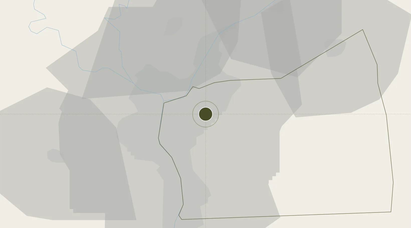
30.0812°, 31.3649°
1 ha
Zone area
104.3 km
Nearest port
1.3 km
Nearest airport

Gateway access

Nearest neighbours — logibook spatial index (haversine) over the source coordinates

Zone profile

Zone type
Export Processing Zone
Open Zone Map
Region
Al Qahirah
Open Zone Map
Status
Active
Open Zone Map
Management
Private
Open Zone Map
Operator
Majid Al Futtaim Properties
Open Zone Map
Legal framework
Law No. 83 on Special Economic Zones
Open Zone Map

Location

Location of ozm-1868
Natural Earth 10m (public domain) · Al Qahirah · ozm-1868 · 30.08, 31.36GoogleOSMYandex

Nearby Logistics Neighbours

Ports
  1. 1El Ismailiya104 km
  2. 2Sokhna Port Gas Tanker Terminal106 km
  3. 3Ain Sukhna Terminal108 km
  4. 4El-Adabiya109 km
  5. 5As Suways115 km
Nearest neighbours — logibook spatial index (haversine) over the source coordinates
Airports
  1. 1Almaza Air Force Base1 km
  2. 2Cairo International Airport5 km
  3. 3Bilbeis Air Base42 km
  4. 4Cairo West Air Base43 km
  5. 5Sphinx International Airport45 km
Nearest neighbours — logibook spatial index (haversine) over the source coordinates
Cities
  1. 1Bahtim11 km
  2. 2Qalyub19 km
  3. 3Badr34 km
  4. 410th of Ramadan City39 km
  5. 5Al Minya40 km
Nearest neighbours — logibook spatial index (haversine) over the source coordinates
Trade Zones
  1. 1Nasr Free Economic Zone1 km
  2. 2Nasr City Public Free Zone6 km
  3. 3Arab Al Olayqat Investment Zone16 km
  4. 4Ain Shams University Investment Zone16 km
  5. 5Cairo University Investment Zone17 km
Nearest neighbours — logibook spatial index (haversine) over the source coordinates
DatabookThe Record of Consolidated Knowledge
Egypt beyond logistics?
Browse databook

All Sources

Trade ZonesOpen Zone Map
CC BY
Portsthe NGA World Port Index
Public domain (US gov)
AirportsOurAirports
Public domain
LocationsUN/LOCODE
UN/LOCODE — free
← Egypt trade zones