Transport Functions
Multimodal
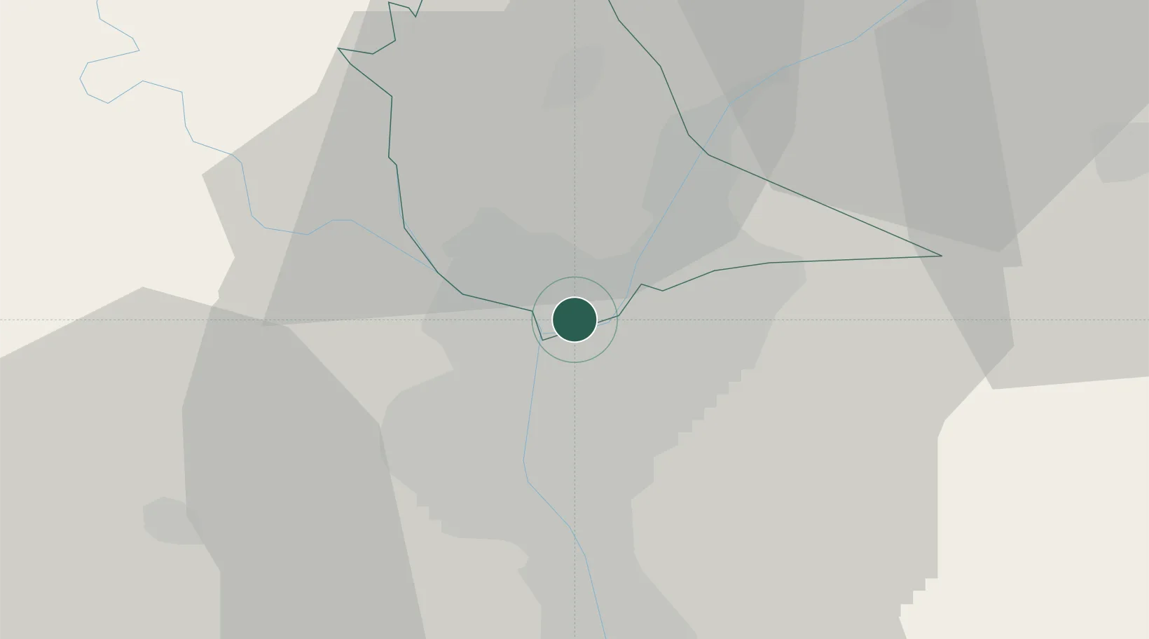
Hub Profile
Place type
Populated place
Region
Qalyubia
Time zone
Africa/Cairo
Elevation
22 m
Location
Nearby Logistics Neighbours
Cities
- 1Qalyub7 km
- 2Sixth of October City33 km
- 3Banha36 km
- 46th October43 km
- 5Badr43 km
Ports
- 1El Ismailiya110 km
- 2Sokhna Port Gas Tanker Terminal117 km
- 3Ain Sukhna Terminal119 km
- 4El-Adabiya119 km
- 5As Suways125 km
Airports
- 1Almaza Air Force Base10 km
- 2Cairo International Airport13 km
- 3Cairo West Air Base34 km
- 4Sphinx International Airport36 km
- 5Bilbeis Air Base43 km
Trade Zones
DatabookThe Record of Consolidated Knowledge
Egypt beyond logistics?