Medium airport · Egypt

Gebel El Basur Air BaseHE28
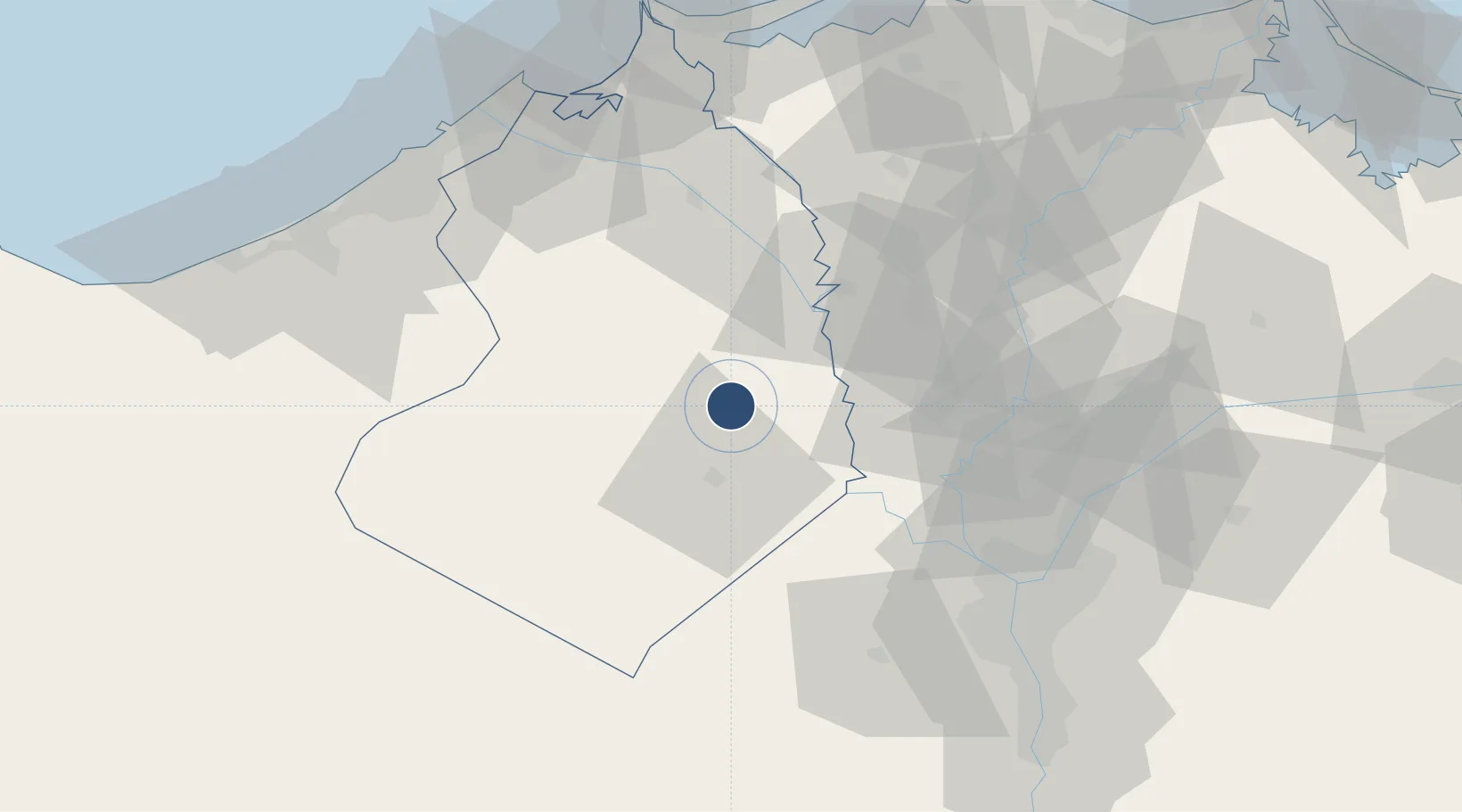
30.5405°, 30.5602°
10,568 ft
Longest runway
2
Runways
85 ft
Elevation

Runway & Layout

Gebel El Basur Air Base runway & taxiway layout
Runway & taxiway layout — OpenStreetMap (ODbL) / OurAirports

Runways · 2

RunwayDimensions SurfaceTrue headingLit
18/36 10,568 × 132ft Asphalt 186°
15/33 9,925 × 132ft Asphalt 152°
OurAirports

Airport Specifications

Airport class
Medium airport
OurAirports
Scheduled service
No
OurAirports
Runway surface
Asphalt
OurAirports
Served city
Markaz Ad Delingat
OurAirports

Location

Location of HE28
Natural Earth 10m (public domain) · Al Buhayrah · HE28 · 30.54, 30.56GoogleOSMYandex

Nearby Logistics Neighbours

Airports
  1. 1Jiyanklis Air Base47 km
  2. 2Birma Air Base49 km
  3. 3Quesna Airport55 km
  4. 4Sphinx International Airport58 km
  5. 5Cairo West Air Base58 km
Nearest neighbours — logibook spatial index (haversine) over the source coordinates
Cities
  1. 1Sadat City26 km
  2. 2Tanta48 km
  3. 3Quesna53 km
  4. 4Banha61 km
  5. 5El Beheirah61 km
Nearest neighbours — logibook spatial index (haversine) over the source coordinates
Ports
  1. 1El Maadiya90 km
  2. 2Al Iskandariyh (Alexandria)98 km
  3. 3Abu Qir99 km
  4. 4Sidi Kerir (Kurayr)103 km
  5. 5Damietta154 km
Nearest neighbours — logibook spatial index (haversine) over the source coordinates
Trade Zones
  1. 1Shebin El-koom Public Free Zone42 km
  2. 2Banha Investment Zone61 km
  3. 3Mit Ghamr Investment Zone70 km
  4. 4Media Public Free Zone78 km
  5. 5Cairo University Investment Zone85 km
Nearest neighbours — logibook spatial index (haversine) over the source coordinates
DatabookThe Record of Consolidated Knowledge
Egypt beyond logistics?
Browse databook

All Sources

AirportsOurAirports
Public domain
Portsthe NGA World Port Index
Public domain (US gov)
LocationsUN/LOCODE
UN/LOCODE — free
Trade Zonesthe World Bank SEZ database
CC BY 4.0
Trade ZonesOpen Zone Map
CC BY
InfrastructureOpenStreetMap
ODbL 1.0
← Egypt airports