Medium airport · Egypt

Cairo West Air BaseHECW
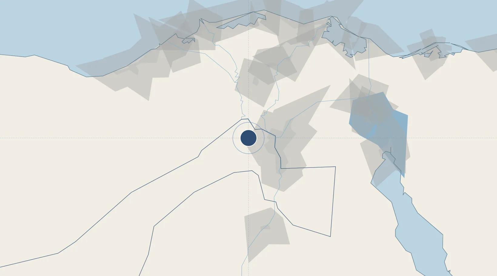
30.1164°, 30.9155°
11,939 ft
Longest runway
2
Runways
557 ft
Elevation

Runway & Layout

Cairo West Air Base runway & taxiway layout
Runway & taxiway layout — OpenStreetMap (ODbL) / OurAirports

Radio Frequencies

TWR
127.4 MHz
GND
130 MHz
CLD
130 MHz
CLNC
APP
125.3 MHz
OurAirports

Navaids

BLA TACAN Cairo West 116.70 MHz
OurAirports

Runways · 2

RunwayDimensions SurfaceTrue headingLit
16L/34R 11,939 × 196ft Asphalt 165°
10/28 9,125 × 147ft Asphalt 107°
OurAirports

Airport Specifications

ICAO code
HECW
OurAirports
Airport class
Medium airport
OurAirports
Scheduled service
No
OurAirports
Runway surface
Asphalt
OurAirports
Served city
Cairo
OurAirports

Location

Location of HECW
Natural Earth 10m (public domain) · Al Jizah · HECW · 30.12, 30.92GoogleOSMYandex

Nearby Logistics Neighbours

Airports
  1. 1Sphinx International Airport2 km
  2. 2Almaza Air Force Base43 km
  3. 3Cairo International Airport46 km
  4. 4Quesna Airport55 km
  5. 5Gebel El Basur Air Base58 km
Nearest neighbours — logibook spatial index (haversine) over the source coordinates
Cities
  1. 1Sixth of October City16 km
  2. 26th October23 km
  3. 3Qalyub28 km
  4. 4Bahtim34 km
  5. 5October Dry Port41 km
Nearest neighbours — logibook spatial index (haversine) over the source coordinates
Ports
  1. 1El Ismailiya141 km
  2. 2El Maadiya147 km
  3. 3Sokhna Port Gas Tanker Terminal148 km
  4. 4Ain Sukhna Terminal149 km
  5. 5El-Adabiya152 km
Nearest neighbours — logibook spatial index (haversine) over the source coordinates
Trade Zones
  1. 1Media Public Free Zone19 km
  2. 2Cairo University Investment Zone30 km
  3. 3Nasr City Public Free Zone43 km
  4. 4City Center Almaza Investment Zone43 km
  5. 5Nasr Free Economic Zone44 km
Nearest neighbours — logibook spatial index (haversine) over the source coordinates
DatabookThe Record of Consolidated Knowledge
Egypt beyond logistics?
Browse databook

All Sources

AirportsOurAirports
Public domain
Portsthe NGA World Port Index
Public domain (US gov)
LocationsUN/LOCODE
UN/LOCODE — free
Trade Zonesthe World Bank SEZ database
CC BY 4.0
Trade ZonesOpen Zone Map
CC BY
InfrastructureOpenStreetMap
ODbL 1.0
← Egypt airports