UN/LOCODE hub · Egypt
EGBEH

El Beheirah

31.0833°, 30.4667°
1
Transport functions

Transport Functions

Multimodal
UN/LOCODE

Location

Location of EGBEH
Natural Earth 10m (public domain) · Al Buhayrah · EGBEH · 31.08, 30.47GoogleOSMYandex

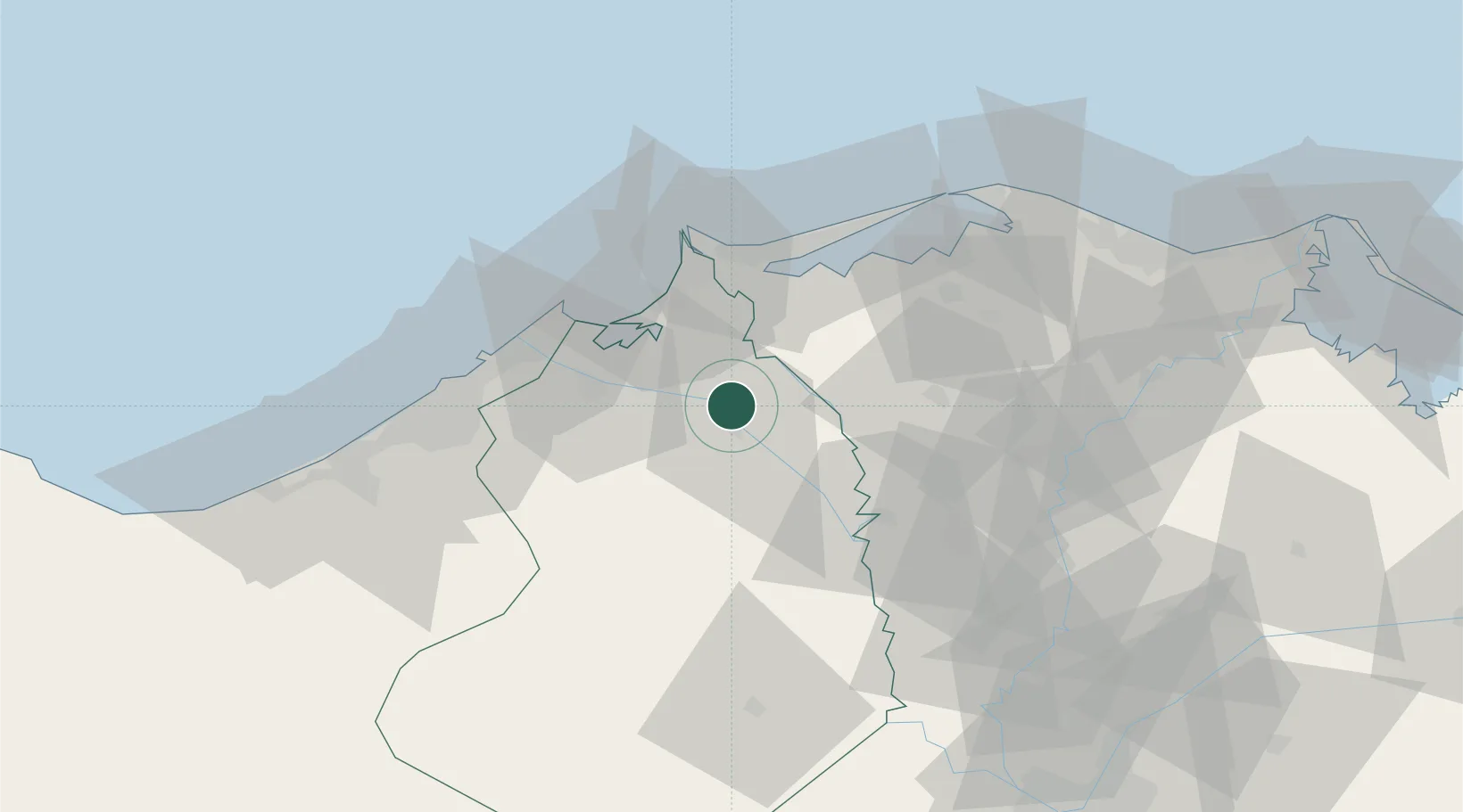
Nearby Logistics Neighbours

Cities
  1. 1Idku29 km
  2. 2Abu Kir45 km
  3. 3El Iskandariya (Alexandria)57 km
  4. 4Tanta61 km
  5. 5Sadat City71 km
Nearest neighbours — logibook spatial index (haversine) over the source coordinates
Ports
  1. 1El Maadiya36 km
  2. 2Abu Qir46 km
  3. 3Al Iskandariyh (Alexandria)61 km
  4. 4Sidi Kerir (Kurayr)76 km
  5. 5Damietta130 km
Nearest neighbours — logibook spatial index (haversine) over the source coordinates
Airports
  1. 1Jiyanklis Air Base39 km
  2. 2Birma Air Base53 km
  3. 3Gebel El Basur Air Base61 km
  4. 4Alexandria International Airport75 km
  5. 5Quesna Airport85 km
Nearest neighbours — logibook spatial index (haversine) over the source coordinates
Trade Zones
  1. 1Venus International Free Zone64 km
  2. 2Alexandria Public Free Zone66 km
  3. 3Shebin El-koom Public Free Zone77 km
  4. 4Mit Ghamr Investment Zone88 km
  5. 5Banha Investment Zone99 km
Nearest neighbours — logibook spatial index (haversine) over the source coordinates
DatabookThe Record of Consolidated Knowledge
Egypt beyond logistics?
Browse databook

All Sources

LocationsUN/LOCODE
UN/LOCODE — free
Portsthe NGA World Port Index
Public domain (US gov)
AirportsOurAirports
Public domain
Trade Zonesthe World Bank SEZ database
CC BY 4.0
Trade ZonesOpen Zone Map
CC BY
← Egypt locations