Transport Functions
Multimodal
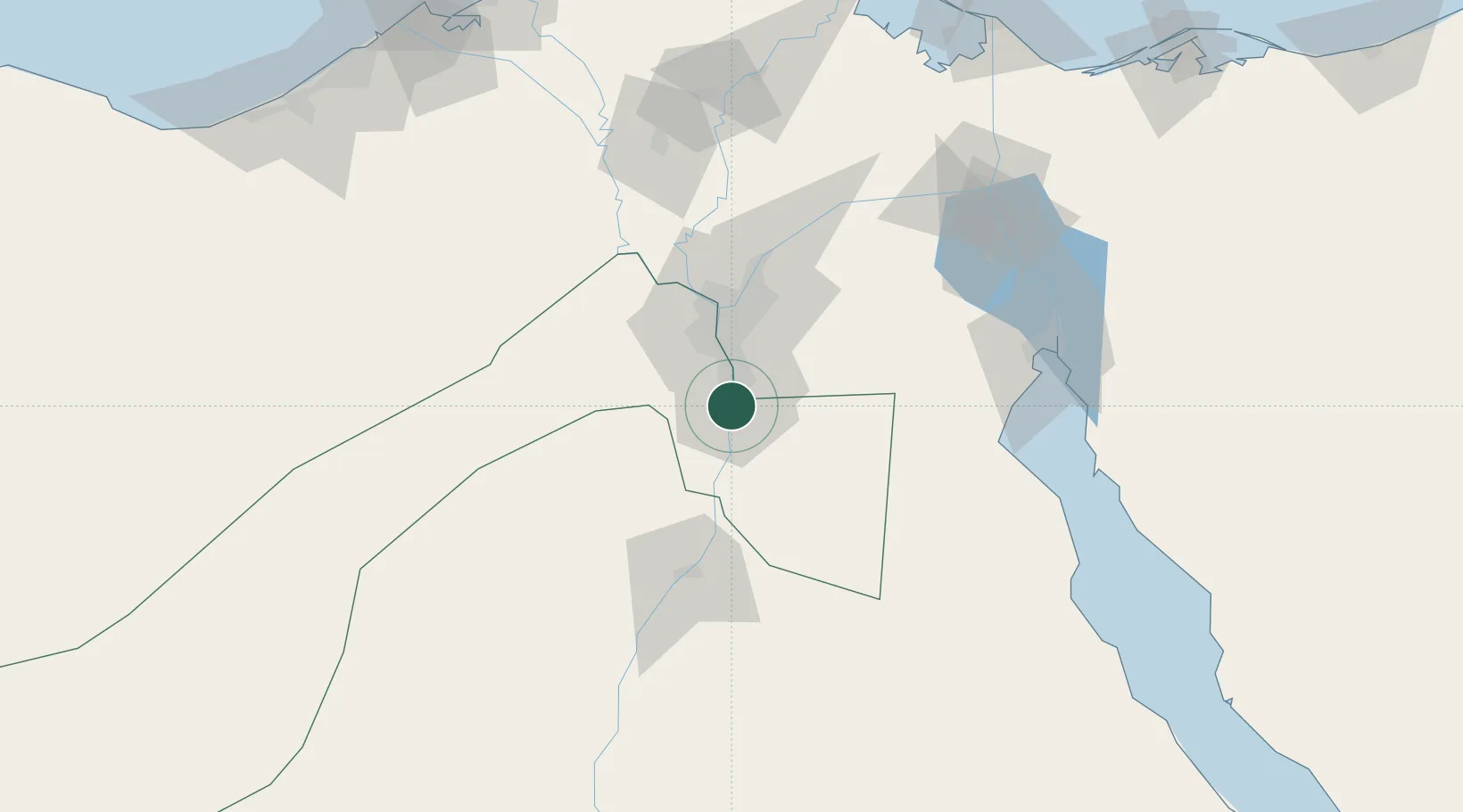
Hub Profile
Place type
Populated place
Region
Cairo
Time zone
Africa/Cairo
Elevation
29 m
Location
Nearby Logistics Neighbours
Cities
- 1Ain Sukhna32 km
- 2Al Haram34 km
- 3Sixth of October City41 km
- 46th October42 km
- 5Bahtim45 km
Ports
- 1Sokhna Port Gas Tanker Terminal105 km
- 2Ain Sukhna Terminal105 km
- 3El-Adabiya115 km
- 4As Suways125 km
- 5El Ismailiya135 km
Airports
- 1Almaza Air Force Base41 km
- 2Cairo International Airport43 km
- 3Cairo West Air Base55 km
- 4Sphinx International Airport56 km
- 5Bani Sweif Air Base65 km
Trade Zones
DatabookThe Record of Consolidated Knowledge
Egypt beyond logistics?