Channel & Berth Profile
Pilotage, Tugs & Services
Pilotage compulsoryYES
Pilotage availableYES
Pilotage advisableYES
Local assistanceYES
Tug assistanceNO
Salvage tugsNO
Potable waterYES
MedicalYES
Facilities & Capabilities
Container—
Ro-RoYES
Liquid bulkYES
Dry bulkYES
Oil terminal—
Break bulkYES
Dry dock—
Repairs—
BunkeringYES
Rail link—
Dangerous cargo—
ISPS security—
Harbour Specifications
Harbour size
Small
Harbour type
Coastal (Natural)
Shelter
Good
Water body
North Atlantic Ocean
Tidal range
0.5 m
Overhead limit
No
Pilotage
Yes
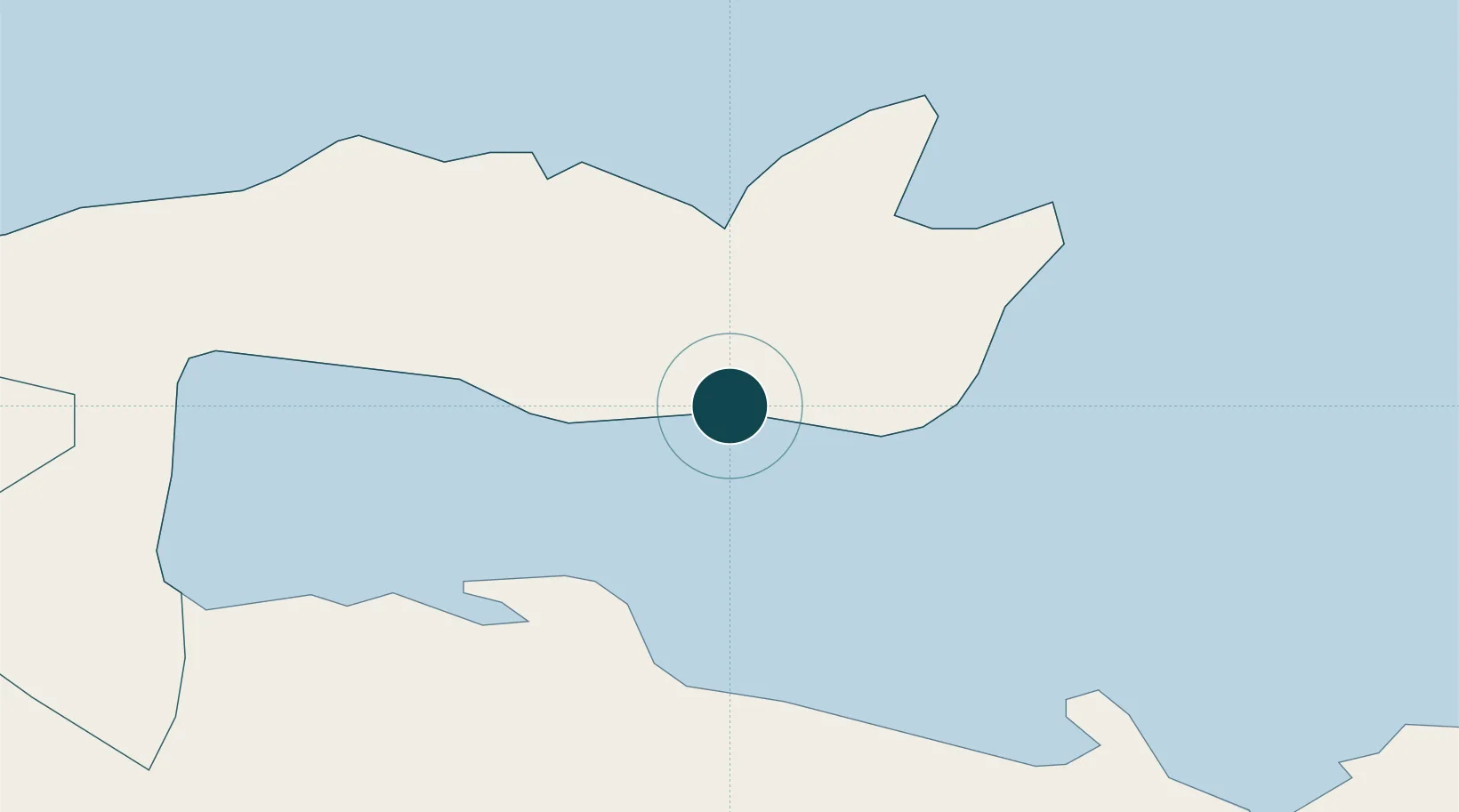
Location
Nearby Logistics Neighbours
Ports
- 1Sanchez30 km
- 2San Pedro De Macoris83 km
- 3Andres (Andres Lng Terminal)91 km
- 4La Romana95 km
- 5Santo Domingo100 km
Cities
- 1Cayo Levantado2 km
- 2Sabana de la Mar16 km
- 3Sánchez30 km
- 4Nagua56 km
- 5Pimentel81 km
Airports
DatabookThe Record of Consolidated Knowledge
Dominican Republic beyond logistics?