UN/LOCODE hub · Dominican Republic
DONAG
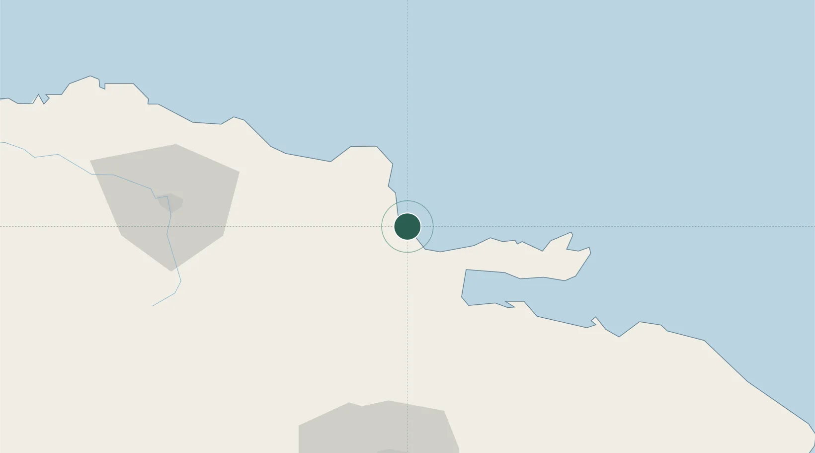
Nagua
19.3833°, -69.8333°
33,862
Population
1
Transport functions
Transport Functions
Multimodal
Hub Profile
Place type
Regional capital
Region
María Trinidad Sánchez
Population
33,862
Time zone
America/Santo_Domingo
Elevation
9 m
Location
Nearby Logistics Neighbours
Cities
- 1Sánchez28 km
- 2Pimentel36 km
- 3San Francisco de Macorís45 km
- 4Cayo Levantado58 km
- 5Sabana de la Mar59 km
Ports
- 1Sanchez28 km
- 2Santa Barbara De Samana56 km
- 3Puerto Plata102 km
- 4Santo Domingo102 km
- 5Andres (Andres Lng Terminal)108 km
Airports
DatabookThe Record of Consolidated Knowledge
Dominican Republic beyond logistics?