UN/LOCODE hub · Dominican Republic
DOSNZ
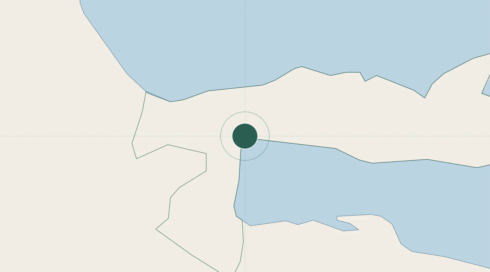
Sánchez
19.2333°, -69.6167°
11,365
Population
3
Transport functions
Transport Functions
Port
Rail
Road
Hub Profile
Place type
Populated place
Region
Samaná
Population
11,365
Time zone
America/Santo_Domingo
Elevation
25 m
Location
Nearby Logistics Neighbours
Cities
- 1Nagua28 km
- 2Sabana de la Mar31 km
- 3Cayo Levantado32 km
- 4Pimentel51 km
- 5San Francisco de Macorís67 km
Ports
- 1Santa Barbara De Samana30 km
- 2Andres (Andres Lng Terminal)89 km
- 3Santo Domingo90 km
- 4San Pedro De Macoris93 km
- 5Puerto De Haina100 km
Airports
DatabookThe Record of Consolidated Knowledge
Dominican Republic beyond logistics?