Export Processing Zone · Dominican Republic

Zona Franca Industrial Dos Ríos Active
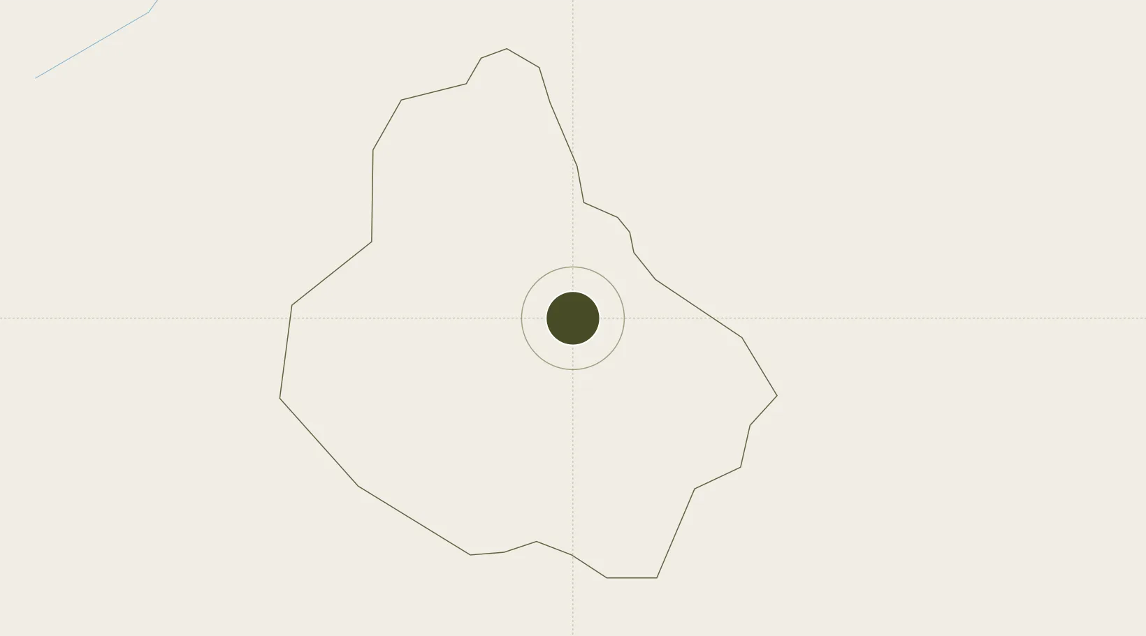
18.9123°, -70.3751°
10 ha
Zone area
66.8 km
Nearest port
55.8 km
Nearest airport

Gateway access

Nearest neighbours — logibook spatial index (haversine) over the source coordinates

Zone profile

Zone type
Export Processing Zone
Open Zone Map
Region
Monseñor Nouel
Open Zone Map
Status
Active
Open Zone Map
Management
Private
Open Zone Map
Operator
Dos Rios Enterprise, Inc.
Open Zone Map
Legal framework
Law 8-90, Amended in December 2007
Open Zone Map

Location

Location of ozm-1784
Natural Earth 10m (public domain) · Monseñor Nouel · ozm-1784 · 18.91, -70.38GoogleOSMYandex

Nearby Logistics Neighbours

Ports
  1. 1Puerto De Haina67 km
  2. 2Santo Domingo72 km
  3. 3Las Calderas79 km
  4. 4Puerto Viejo De Azua79 km
  5. 5Sanchez87 km
Nearest neighbours — logibook spatial index (haversine) over the source coordinates
Airports
  1. 1La Isabela International Airport56 km
  2. 2Cibao International Airport60 km
  3. 3Samaná El Catey International Airport78 km
  4. 4San Isidro Air Base79 km
  5. 5Las Américas International Airport92 km
Nearest neighbours — logibook spatial index (haversine) over the source coordinates
Cities
  1. 1Bonao4 km
  2. 2Villa Altagracia35 km
  3. 3Jarabacoa35 km
  4. 4Constanza39 km
  5. 5Pimentel42 km
Nearest neighbours — logibook spatial index (haversine) over the source coordinates
DatabookThe Record of Consolidated Knowledge
Dominican Republic beyond logistics?
Browse databook

All Sources

Trade ZonesOpen Zone Map
CC BY
Portsthe NGA World Port Index
Public domain (US gov)
AirportsOurAirports
Public domain
LocationsUN/LOCODE
UN/LOCODE — free
← Dominican Republic trade zones