UN/LOCODE hub · Dominican Republic
DOVGZ

Villa Gonzalez

19.5333°, -70.7833°
10,177
Population
1
Transport functions

Transport Functions

Multimodal
UN/LOCODE

Hub Profile

Place type
Populated place
GeoNames
Region
Santiago Province
GeoNames
Population
10,177
GeoNames
Time zone
America/Santo_Domingo
GeoNames
Elevation
164 m
GeoNames

Location

Location of DOVGZ
Natural Earth 10m (public domain) · Santiago Province · DOVGZ · 19.53, -70.78GoogleOSMYandex

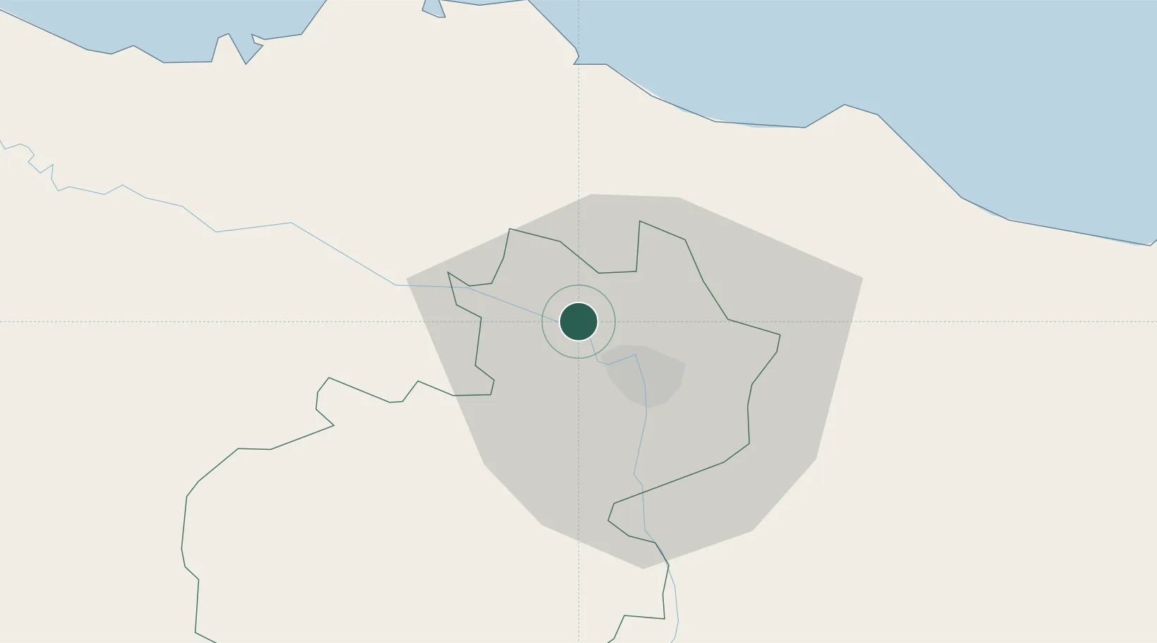
Nearby Logistics Neighbours

Cities
  1. 1Hato del Yaque8 km
  2. 2Licey18 km
  3. 3Moca33 km
  4. 4Piloto44 km
  5. 5Luperon44 km
Nearest neighbours — logibook spatial index (haversine) over the source coordinates
Ports
  1. 1Puerto Plata31 km
  2. 2Amber Cove33 km
  3. 3Pepillo Salcedo103 km
  4. 4Manzanillo103 km
  5. 5Sanchez127 km
Nearest neighbours — logibook spatial index (haversine) over the source coordinates
Airports
  1. 1Cibao International Airport24 km
  2. 2Gregorio Luperon International Airport34 km
  3. 3Samaná El Catey International Airport114 km
  4. 4La Isabela International Airport136 km
  5. 5Maria Montez International Airport147 km
Nearest neighbours — logibook spatial index (haversine) over the source coordinates
Trade Zones
  1. 1Zona Franca Industrial de Palmarejo1 km
  2. 2Zona Franca Industrial Del Norte1 km
  3. 3Zona Franca Palmar Abajo3 km
  4. 4Parque Industrial Santiago Norte4 km
  5. 5Pisano Industrial Free Zone4 km
Nearest neighbours — logibook spatial index (haversine) over the source coordinates
DatabookThe Record of Consolidated Knowledge
Dominican Republic beyond logistics?
Browse databook

All Sources

LocationsUN/LOCODE
UN/LOCODE — free
LocationsGeoNames
CC BY 4.0
Portsthe NGA World Port Index
Public domain (US gov)
AirportsOurAirports
Public domain
Trade Zonesthe World Bank SEZ database
CC BY 4.0
Trade ZonesOpen Zone Map
CC BY
← Dominican Republic locations