Transport Functions
Multimodal
Hub Profile
Place type
Local administrative seat
Region
North Rhine-Westphalia
Population
7,897
Time zone
Europe/Berlin
Elevation
49 m
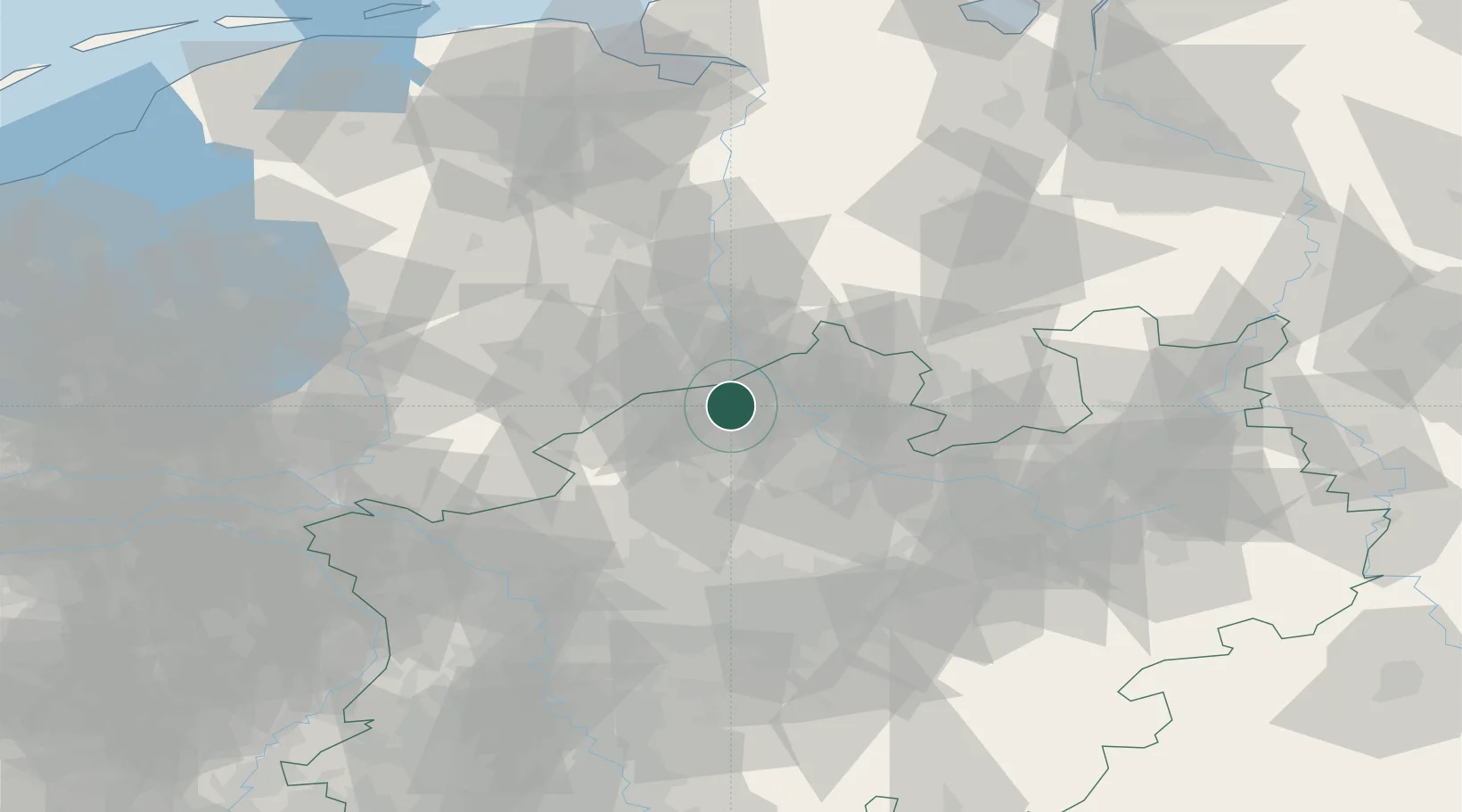
Location
Nearby Logistics Neighbours
Cities
- 1Horstmar13 km
- 2Schüttorf14 km
- 3Bad Bentheim17 km
- 4Venhaus19 km
- 5Gronau19 km
Airports
- 1Münster Osnabrück Airport26 km
- 2Twente Airport30 km
- 3Dortmund Airport79 km
- 4Diepholz Air Base82 km
- 5Bielefeld Airport88 km
Trade Zones
DatabookThe Record of Consolidated Knowledge
Germany beyond logistics?