Transport Functions
Rail
Road
Hub Profile
Place type
Populated place
Region
North Rhine-Westphalia
Population
6,822
Time zone
Europe/Berlin
Elevation
104 m
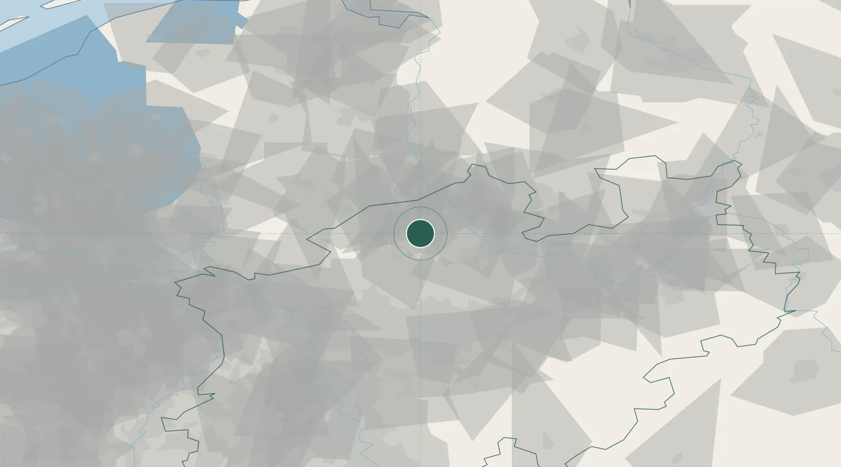
Location
Nearby Logistics Neighbours
Cities
- 1Wettringen13 km
- 2Billerbeck13 km
- 3Holtwick16 km
- 4Karthaus24 km
- 5Gronau24 km
Airports
- 1Münster Osnabrück Airport26 km
- 2Twente Airport36 km
- 3Dortmund Airport66 km
- 4Bielefeld Airport85 km
- 5Diepholz Air Base89 km
Trade Zones
DatabookThe Record of Consolidated Knowledge
Germany beyond logistics?