Transport Functions
Port
Road
Hub Profile
Place type
Populated place
Region
Lower Saxony
Time zone
Europe/Berlin
Elevation
34 m
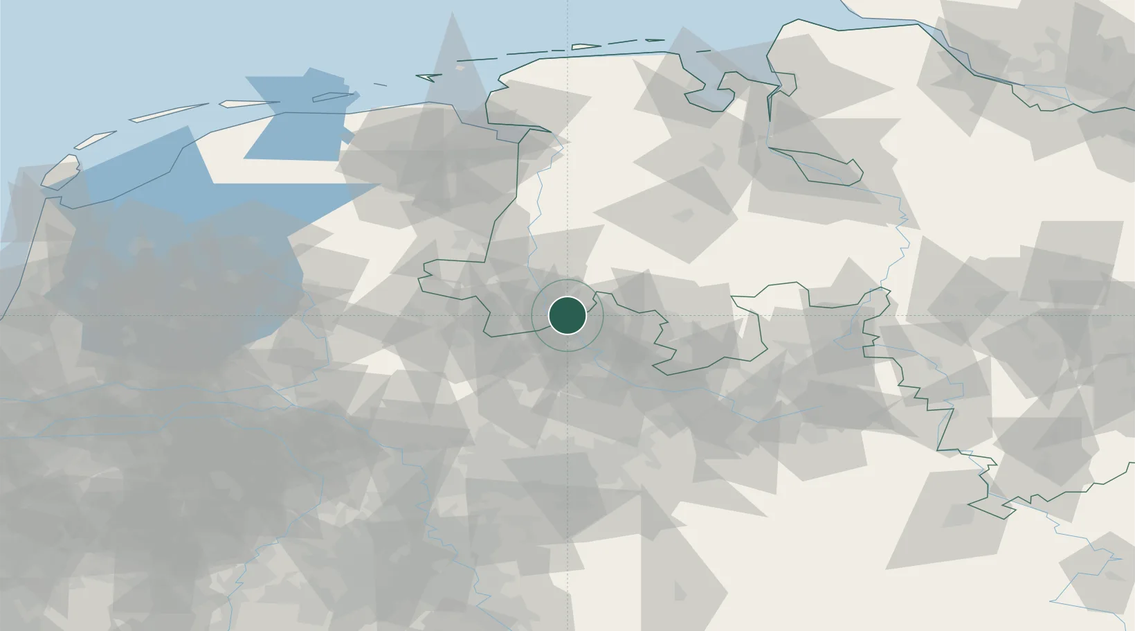
Location
Nearby Logistics Neighbours
Cities
- 1Kunkemühle8 km
- 2Hesselte9 km
- 3Schapen9 km
- 4Messingen13 km
- 5Riesenbeck15 km
Airports
- 1Münster Osnabrück Airport29 km
- 2Twente Airport39 km
- 3Diepholz Air Base66 km
- 4Bielefeld Airport86 km
- 5Dortmund Airport93 km
Trade Zones
DatabookThe Record of Consolidated Knowledge
Germany beyond logistics?