Medium airport · Germany

Bielefeld AirportEDLI
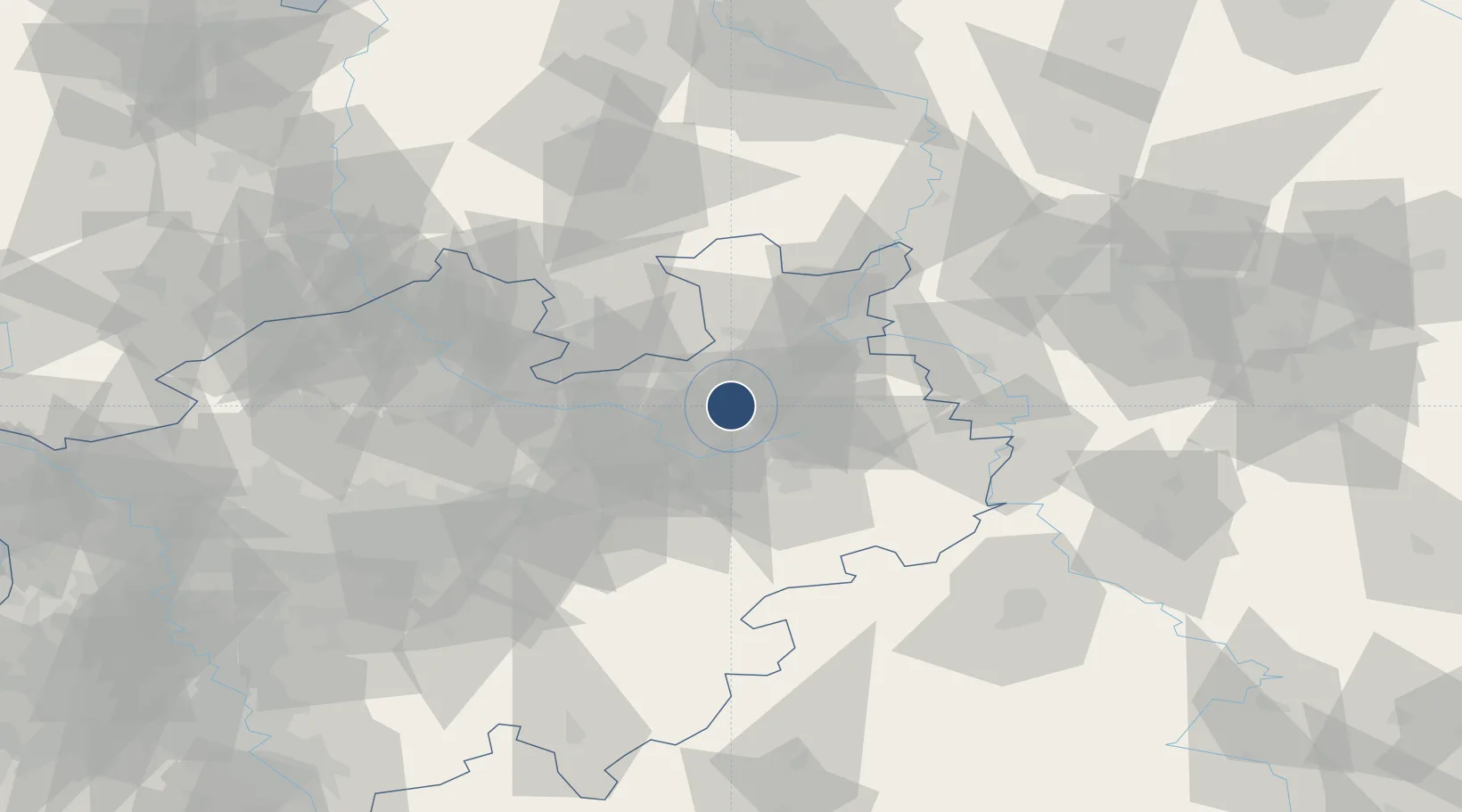
51.9647°, 8.5444°
4,121 ft
Longest runway
1
Runways
454 ft
Elevation

Runway & Layout

Bielefeld Airport runway & taxiway layout
Runway & taxiway layout — OpenStreetMap (ODbL) / OurAirports

Radio Frequencies

AFIS
129.875 MHz
Langen Information
Info
118.355 MHz
Bielefeld Radio
OurAirports

Runways · 1

RunwayDimensions SurfaceTrue headingLit
11/29 4,121 × 66ft Asphalt 111°
OurAirports

Airport Specifications

IATA code
BFE
OurAirports
ICAO code
EDLI
OurAirports
Airport class
Medium airport
OurAirports
Scheduled service
No
OurAirports
Runway surface
Asphalt
OurAirports
Served city
Bielefeld
OurAirports

Location

Location of EDLI
Natural Earth 10m (public domain) · Nordrhein-Westfalen · EDLI · 51.96, 8.54GoogleOSMYandex

Nearby Logistics Neighbours

Airports
  1. 1Paderborn Lippstadt Airport40 km
  2. 2Bückeburg Air Base51 km
  3. 3Münster Osnabrück Airport62 km
  4. 4Diepholz Air Base70 km
  5. 5Dortmund Airport81 km
Nearest neighbours — logibook spatial index (haversine) over the source coordinates
Cities
  1. 1Brackwede3 km
  2. 2Bielefeld6 km
  3. 3Oerlinghausen8 km
  4. 4Jüchen16 km
  5. 5Oldinghausen17 km
Nearest neighbours — logibook spatial index (haversine) over the source coordinates
Ports
  1. 1Oldenburg130 km
  2. 2Bremen131 km
  3. 3Elsfleth141 km
  4. 4Papenburg149 km
  5. 5Brake152 km
Nearest neighbours — logibook spatial index (haversine) over the source coordinates
Trade Zones
  1. 1Freeport of Bremerhaven (Freihafen Bremerhaven)126 km
  2. 2Freeport of Duisburg147 km
  3. 3Freeport of Emden178 km
  4. 4Rheinische Revier SWZ190 km
  5. 5Freeport of Cuxhaven (Freihafen Cuxhaven)207 km
Nearest neighbours — logibook spatial index (haversine) over the source coordinates
DatabookThe Record of Consolidated Knowledge
Germany beyond logistics?
Browse databook

All Sources

AirportsOurAirports
Public domain
Portsthe NGA World Port Index
Public domain (US gov)
LocationsUN/LOCODE
UN/LOCODE — free
Trade Zonesthe World Bank SEZ database
CC BY 4.0
Trade ZonesOpen Zone Map
CC BY
InfrastructureOpenStreetMap
ODbL 1.0
← Germany airports