UN/LOCODE hub · Germany
DEXR9

Waldmössingen

48.2667°, 8.4833°
2
Transport functions

Transport Functions

Road
Multimodal
UN/LOCODE

Hub Profile

Region
BW
GeoNames

Location

Location of DEXR9
Natural Earth 10m (public domain) · BW · DEXR9 · 48.27, 8.48GoogleOSMYandex

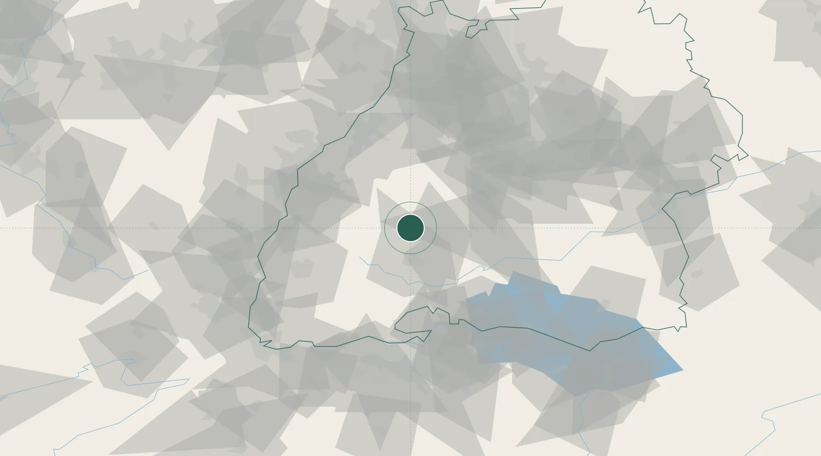
Nearby Logistics Neighbours

Cities
  1. 1Fluorn4 km
  2. 2Oberndorf am Neckar6 km
  3. 3Epfendorf9 km
  4. 4Schiltach10 km
  5. 5Zimmern ob Rottweil13 km
Nearest neighbours — logibook spatial index (haversine) over the source coordinates
Ports
  1. 1Bruxelles415 km
  2. 2Genova432 km
  3. 3Porto Di Lido-Venezia437 km
  4. 4Savona439 km
  5. 5Antwerpen440 km
Nearest neighbours — logibook spatial index (haversine) over the source coordinates
Airports
  1. 1Donaueschingen-Villingen Airfield33 km
  2. 2Lahr Airport50 km
  3. 3Karlsruhe Baden-Baden Airport64 km
  4. 4Strasbourg Airport70 km
  5. 5Mengen-Hohentengen Airfield70 km
Nearest neighbours — logibook spatial index (haversine) over the source coordinates
Trade Zones
  1. 1ZFU Neuhof61 km
  2. 2ZFU Hautepierre69 km
  3. 3ZFU Mulhouse103 km
  4. 4ZFU Belfort143 km
  5. 5ZFU La Cité Behren-lès-Forbach152 km
Nearest neighbours — logibook spatial index (haversine) over the source coordinates
DatabookThe Record of Consolidated Knowledge
Germany beyond logistics?
Browse databook

All Sources

LocationsUN/LOCODE
UN/LOCODE — free
Portsthe NGA World Port Index
Public domain (US gov)
AirportsOurAirports
Public domain
Trade Zonesthe World Bank SEZ database
CC BY 4.0
Trade ZonesOpen Zone Map
CC BY
← Germany locations