Transport Functions
Rail
Road
Multimodal
Hub Profile
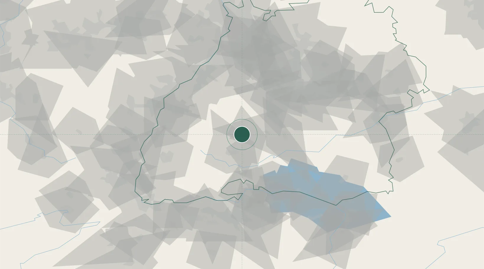
Place type
Local administrative seat
Region
Baden-Wurttemberg
Population
3,566
Time zone
Europe/Berlin
Elevation
482 m
Location
Nearby Logistics Neighbours
Cities
- 1Oberndorf am Neckar5 km
- 2Waldmössingen9 km
- 3Zimmern ob Rottweil9 km
- 4Fluorn10 km
- 5Vöhringen11 km
Ports
- 1Bruxelles423 km
- 2Genova429 km
- 3Porto Di Lido-Venezia429 km
- 4Savona437 km
- 5Porto Di Chioggia438 km
Airports
- 1Donaueschingen-Villingen Airfield31 km
- 2Lahr Airport59 km
- 3Mengen-Hohentengen Airfield61 km
- 4Stuttgart Airport67 km
- 5Karlsruhe Baden-Baden Airport70 km
Trade Zones
- 1ZFU Neuhof70 km
- 2ZFU Hautepierre77 km
- 3ZFU Mulhouse109 km
- 4ZFU Belfort150 km
- 5ZFU Montbéliard159 km
DatabookThe Record of Consolidated Knowledge
Germany beyond logistics?