Transport Functions
Rail
Road
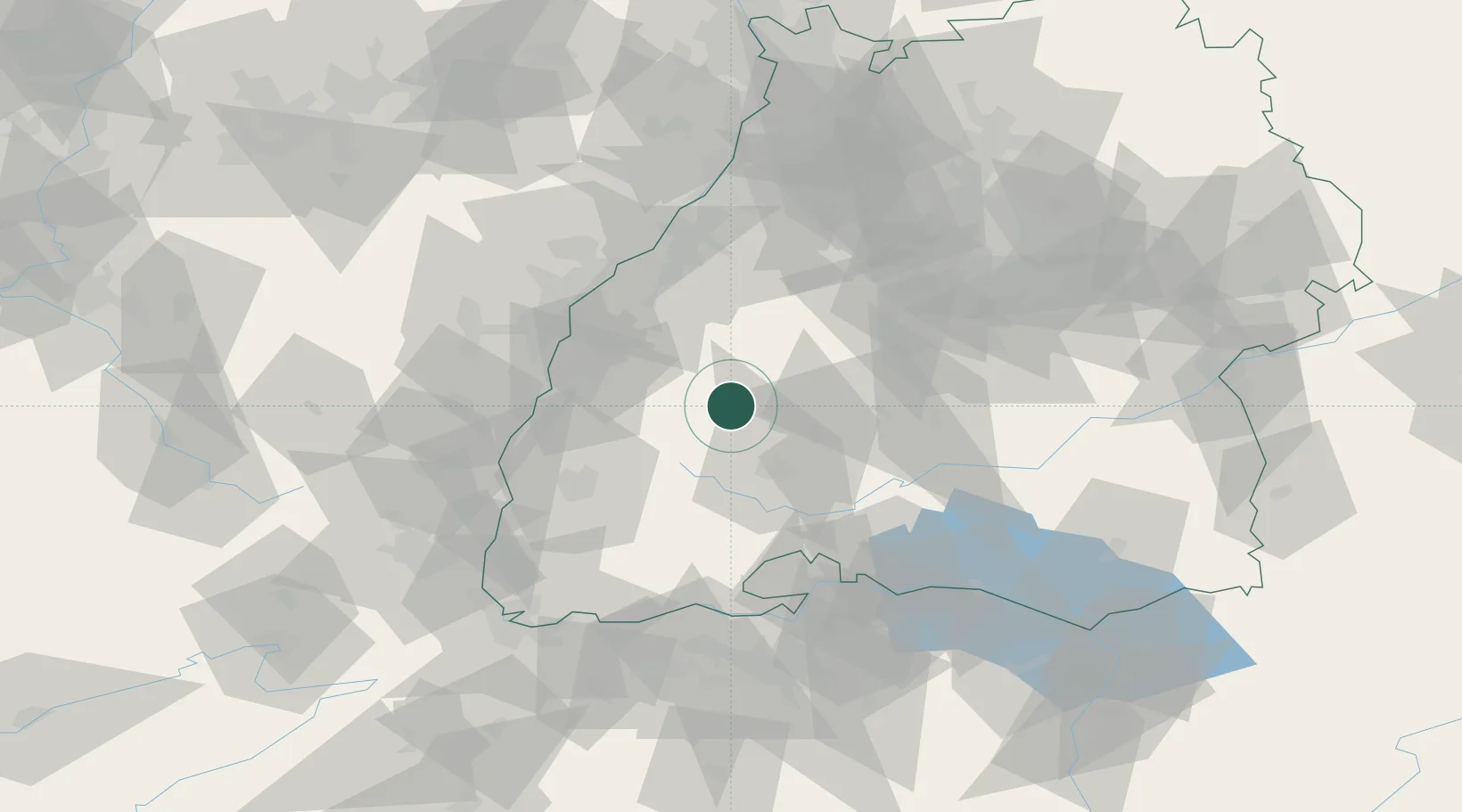
Hub Profile
Place type
Populated place
Region
Baden-Wurttemberg
Population
4,025
Time zone
Europe/Berlin
Elevation
334 m
Location
Nearby Logistics Neighbours
Cities
- 1Fluorn10 km
- 2Waldmössingen10 km
- 3Gutach (Schwarzwaldbahn)11 km
- 4Tennenbronn11 km
- 5Odenwald16 km
Ports
- 1Bruxelles407 km
- 2Antwerpen432 km
- 3Genova434 km
- 4Savona441 km
- 5Porto Di Lido-Venezia445 km
Airports
- 1Donaueschingen-Villingen Airfield37 km
- 2Lahr Airport40 km
- 3Karlsruhe Baden-Baden Airport59 km
- 4Strasbourg Airport60 km
- 5Colmar Houssen airport76 km
Trade Zones
- 1ZFU Neuhof52 km
- 2ZFU Hautepierre60 km
- 3ZFU Mulhouse96 km
- 4ZFU Belfort135 km
- 5ZFU La Cité Behren-lès-Forbach143 km
DatabookThe Record of Consolidated Knowledge
Germany beyond logistics?