Transport Functions
Road
Multimodal
Hub Profile
Place type
Populated place
Region
Baden-Wurttemberg
Time zone
Europe/Berlin
Elevation
641 m
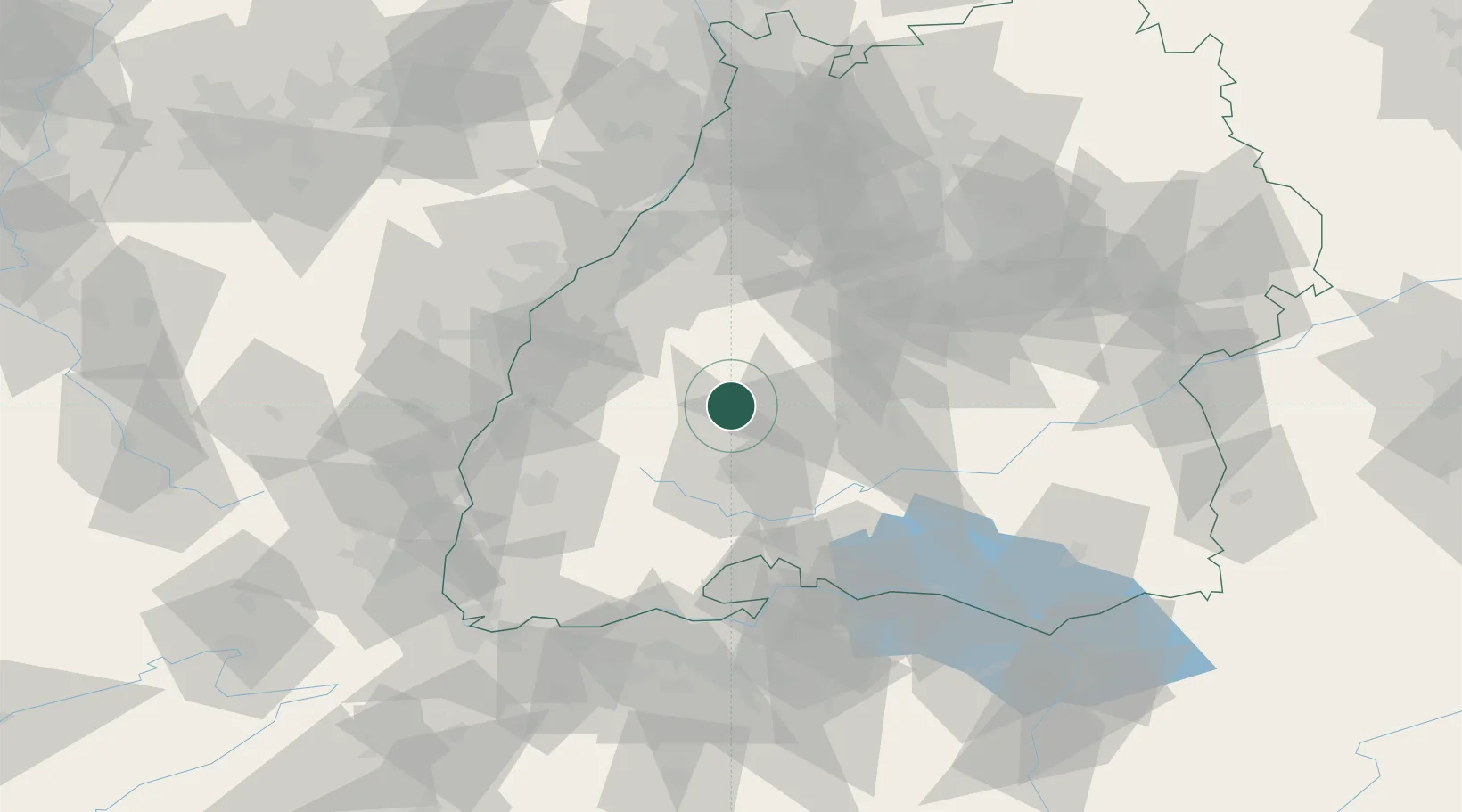
Location
Nearby Logistics Neighbours
Cities
- 1Waldmössingen4 km
- 2Oberndorf am Neckar6 km
- 3Schiltach10 km
- 4Epfendorf10 km
- 5Odenwald14 km
Ports
- 1Bruxelles413 km
- 2Genova435 km
- 3Antwerpen437 km
- 4Porto Di Lido-Venezia439 km
- 5Savona443 km
Airports
- 1Donaueschingen-Villingen Airfield36 km
- 2Lahr Airport49 km
- 3Karlsruhe Baden-Baden Airport61 km
- 4Strasbourg Airport68 km
- 5Stuttgart Airport70 km
Trade Zones
- 1ZFU Neuhof60 km
- 2ZFU Hautepierre67 km
- 3ZFU Mulhouse105 km
- 4ZFU Belfort145 km
- 5ZFU La Cité Behren-lès-Forbach149 km
DatabookThe Record of Consolidated Knowledge
Germany beyond logistics?