UN/LOCODE hub · Germany
DEZMR
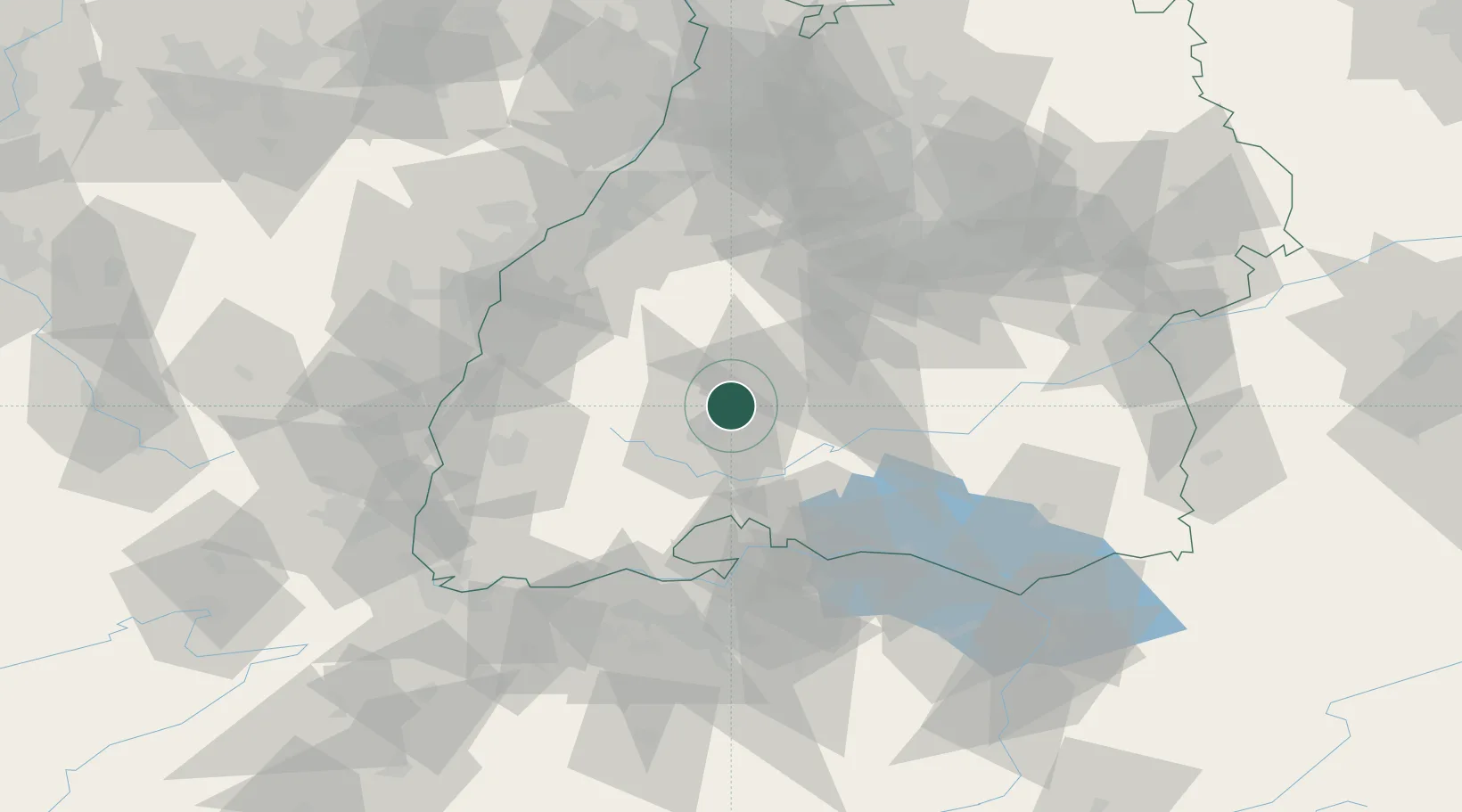
Zimmern ob Rottweil
48.1667°, 8.5833°
6,061
Population
1
Transport functions
Transport Functions
Multimodal
Hub Profile
Place type
Local administrative seat
Region
Baden-Wurttemberg
Population
6,061
Time zone
Europe/Berlin
Elevation
663 m
Location
Nearby Logistics Neighbours
Cities
- 1Epfendorf9 km
- 2Dauchingen10 km
- 3Oberndorf am Neckar13 km
- 4Waldmössingen13 km
- 5Monchweiler13 km
Ports
- 1Genova420 km
- 2Porto Di Lido-Venezia424 km
- 3Savona428 km
- 4Bruxelles428 km
- 5Porto Di Chioggia432 km
Airports
- 1Donaueschingen-Villingen Airfield22 km
- 2Mengen-Hohentengen Airfield60 km
- 3Lahr Airport60 km
- 4Stuttgart Airport75 km
- 5Karlsruhe Baden-Baden Airport78 km
Trade Zones
- 1ZFU Neuhof74 km
- 2ZFU Hautepierre81 km
- 3ZFU Mulhouse104 km
- 4ZFU Belfort145 km
- 5ZFU Montbéliard153 km
DatabookThe Record of Consolidated Knowledge
Germany beyond logistics?