Transport Functions
Rail
Road
Hub Profile
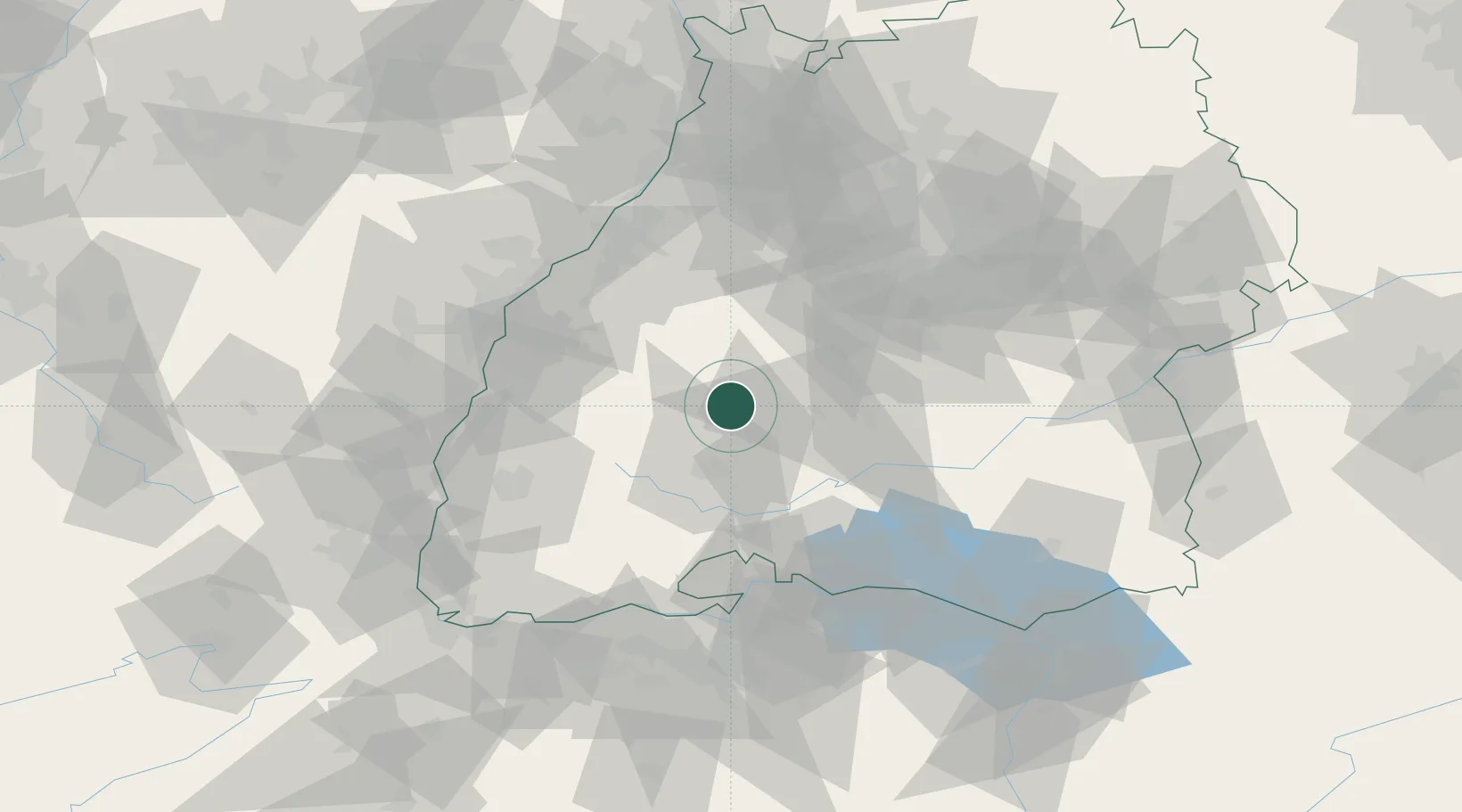
Region
BW
Location
Nearby Logistics Neighbours
Cities
- 1Epfendorf5 km
- 2Fluorn6 km
- 3Waldmössingen6 km
- 4Vöhringen9 km
- 5Zimmern ob Rottweil13 km
Ports
- 1Bruxelles418 km
- 2Genova433 km
- 3Porto Di Lido-Venezia434 km
- 4Savona441 km
- 5Porto Di Chioggia443 km
Airports
- 1Donaueschingen-Villingen Airfield35 km
- 2Lahr Airport56 km
- 3Mengen-Hohentengen Airfield65 km
- 4Karlsruhe Baden-Baden Airport66 km
- 5Stuttgart Airport66 km
Trade Zones
- 1ZFU Neuhof66 km
- 2ZFU Hautepierre73 km
- 3ZFU Mulhouse109 km
- 4ZFU Belfort149 km
- 5ZFU La Cité Behren-lès-Forbach155 km
DatabookThe Record of Consolidated Knowledge
Germany beyond logistics?