Transport Functions
Port
Rail
Road
Hub Profile
Place type
Populated place
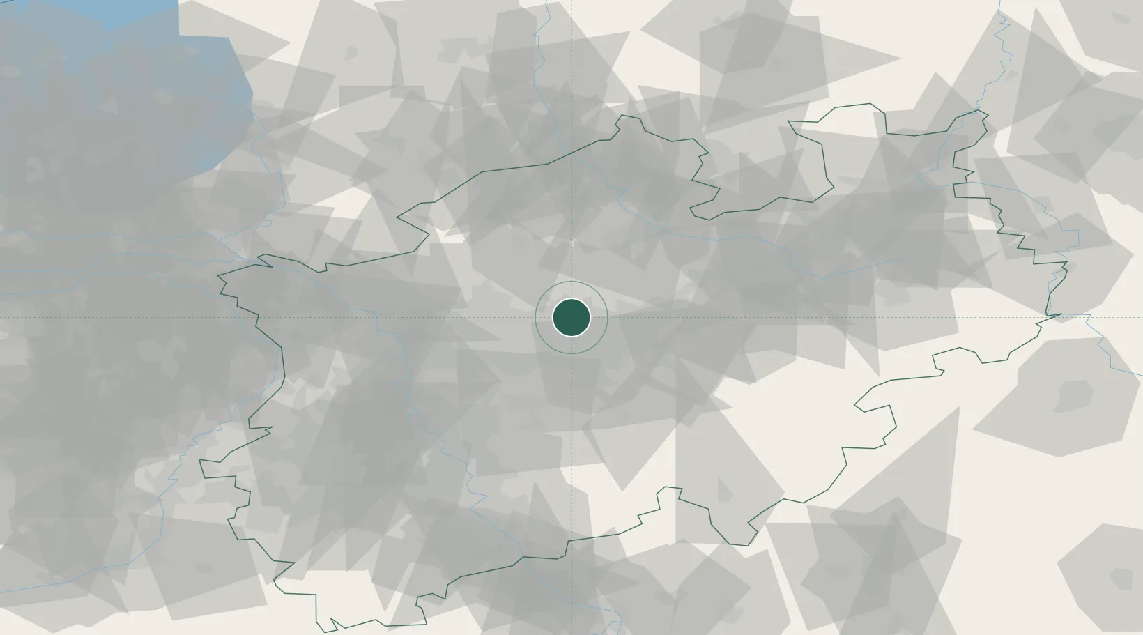
Region
North Rhine-Westphalia
Population
30,220
Time zone
Europe/Berlin
Elevation
71 m
Location
Nearby Logistics Neighbours
Cities
- 1Groppenbruch8 km
- 2Castrop-Rauxel12 km
- 3Dortmund12 km
- 4Holthausen14 km
- 5Recklinghausen14 km
Airports
- 1Dortmund Airport20 km
- 2Düsseldorf Airport58 km
- 3Münster Osnabrück Airport59 km
- 4Mönchengladbach Airport77 km
- 5Twente Airport80 km
Trade Zones
- 1Freeport of Duisburg60 km
- 2Rheinische Revier SWZ107 km
- 3Freeport of Bremerhaven (Freihafen Bremerhaven)187 km
- 4Freeport of Emden190 km
- 5Luxembourg Free Port237 km
DatabookThe Record of Consolidated Knowledge
Germany beyond logistics?