Transport Functions
Port
Rail
Road
Hub Profile
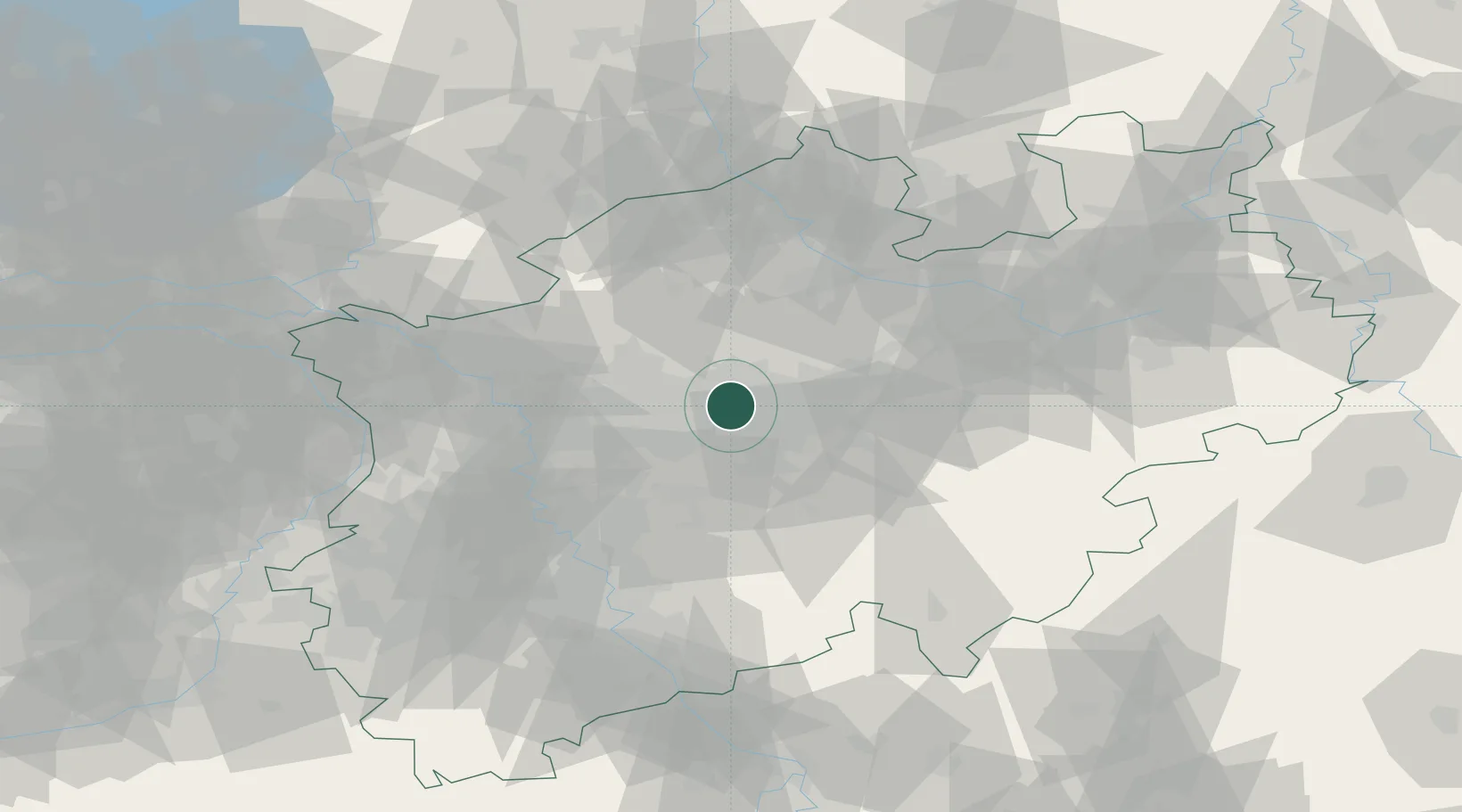
Place type
Populated place
Region
North Rhine-Westphalia
Time zone
Europe/Berlin
Elevation
66 m
Location
Nearby Logistics Neighbours
Cities
- 1Castrop-Rauxel5 km
- 2Holthausen7 km
- 3Waltrop8 km
- 4Dortmund9 km
- 5Herne11 km
Airports
- 1Dortmund Airport18 km
- 2Düsseldorf Airport52 km
- 3Münster Osnabrück Airport67 km
- 4Mönchengladbach Airport71 km
- 5Cologne Bonn Airport80 km
Trade Zones
- 1Freeport of Duisburg56 km
- 2Rheinische Revier SWZ100 km
- 3Freeport of Bremerhaven (Freihafen Bremerhaven)195 km
- 4Freeport of Emden197 km
- 5Luxembourg Free Port229 km
DatabookThe Record of Consolidated Knowledge
Germany beyond logistics?