Transport Functions
Port
Rail
Road
Airport
Hub Profile
Place type
District seat
Region
North Rhine-Westphalia
Population
588,462
Time zone
Europe/Berlin
Elevation
96 m
Logistics facilities
4
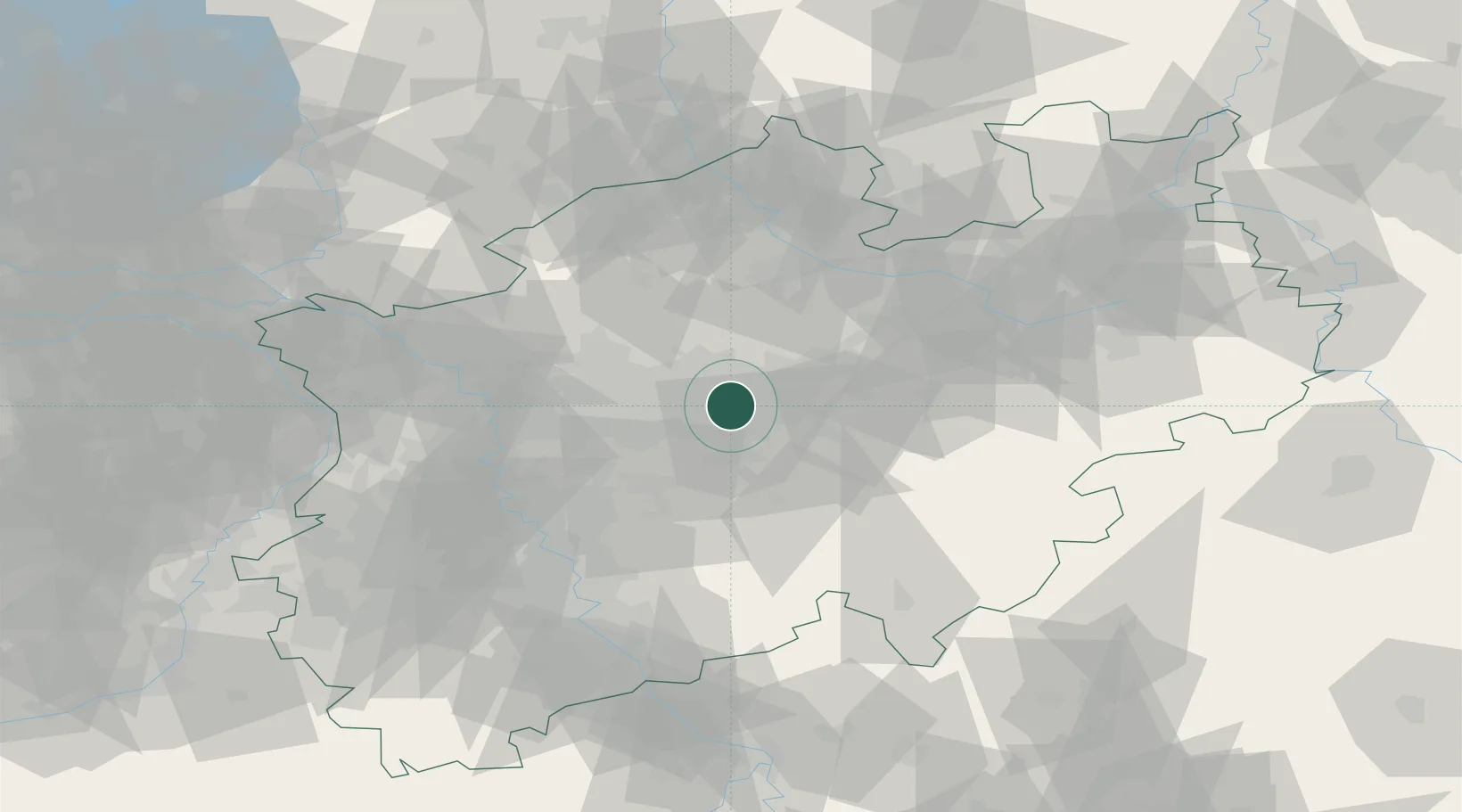
Location
Nearby Logistics Neighbours
Cities
- 1Groppenbruch9 km
- 2Castrop-Rauxel12 km
- 3Waltrop12 km
- 4Holthausen13 km
- 5Rünthe17 km
Airports
- 1Dortmund Airport10 km
- 2Düsseldorf Airport56 km
- 3Münster Osnabrück Airport69 km
- 4Mönchengladbach Airport75 km
- 5Cologne Bonn Airport78 km
Trade Zones
- 1Freeport of Duisburg62 km
- 2Rheinische Revier SWZ103 km
- 3Freeport of Bremerhaven (Freihafen Bremerhaven)195 km
- 4Freeport of Emden202 km
- 5Luxembourg Free Port228 km
DatabookThe Record of Consolidated Knowledge
Germany beyond logistics?