UN/LOCODE hub · Germany
DEREC
Recklinghausen
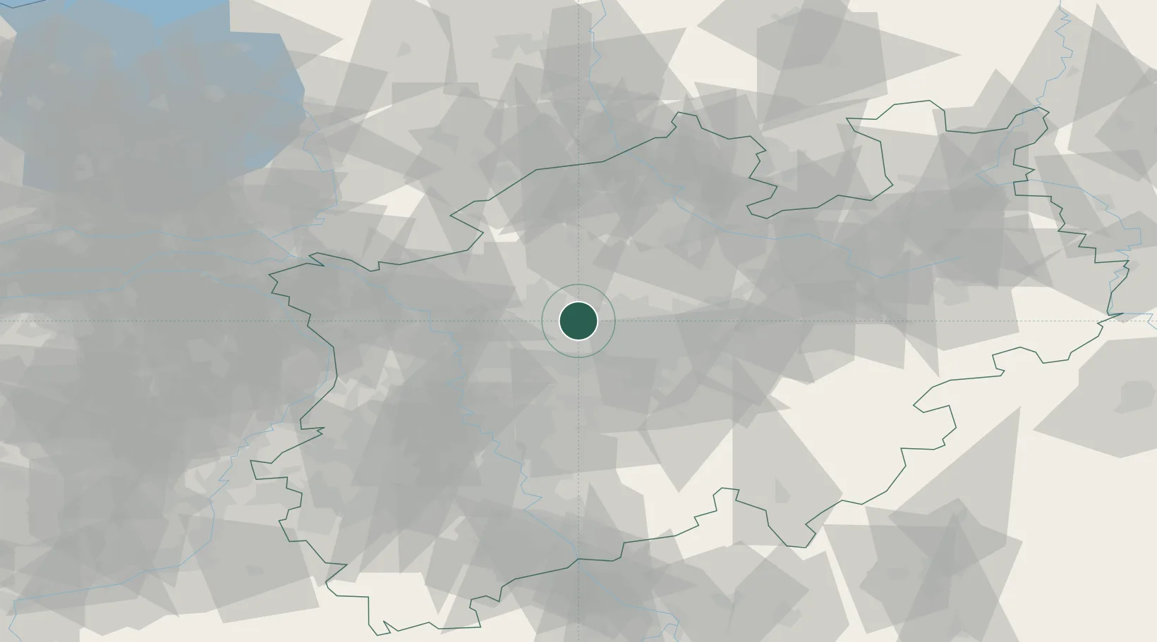
51.6167°, 7.2000°
122,438
Population
2
Transport functions
Transport Functions
Rail
Road
Hub Profile
Place type
District seat
Region
North Rhine-Westphalia
Population
122,438
Time zone
Europe/Berlin
Elevation
80 m
Location
Nearby Logistics Neighbours
Cities
- 1Herten5 km
- 2Huls7 km
- 3Herne8 km
- 4Wanne-Eickel10 km
- 5Brassert10 km
Airports
- 1Dortmund Airport31 km
- 2Düsseldorf Airport47 km
- 3Mönchengladbach Airport65 km
- 4Münster Osnabrück Airport67 km
- 5Weeze (Niederrhein) Airport73 km
Trade Zones
- 1Freeport of Duisburg46 km
- 2Rheinische Revier SWZ97 km
- 3Freeport of Emden191 km
- 4Freeport of Bremerhaven (Freihafen Bremerhaven)196 km
- 5Luxembourg Free Port230 km
DatabookThe Record of Consolidated Knowledge
Germany beyond logistics?