UN/LOCODE hub · Germany
DECRL

Castrop-Rauxel

51.5500°, 7.3000°
77,924
Population
3
Transport functions

Transport Functions

Port
Rail
Road
UN/LOCODE

Hub Profile

Place type
Local administrative seat
GeoNames
Region
North Rhine-Westphalia
GeoNames
Population
77,924
GeoNames
Time zone
Europe/Berlin
GeoNames
Elevation
83 m
GeoNames

Location

Location of DECRL
Natural Earth 10m (public domain) · North Rhine-Westphalia · DECRL · 51.55, 7.30GoogleOSMYandex

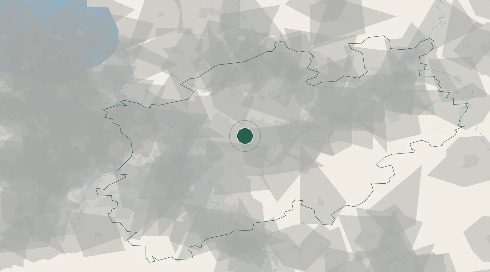
Nearby Logistics Neighbours

Cities
  1. 1Holthausen2 km
  2. 2Groppenbruch5 km
  3. 3Herne6 km
  4. 4Wanne-Eickel9 km
  5. 5Recklinghausen10 km
Nearest neighbours — logibook spatial index (haversine) over the source coordinates
Ports
  1. 1Papenburg172 km
  2. 2Oldenburg185 km
  3. 3Dordrecht185 km
  4. 4Leer188 km
  5. 5Amsterdam188 km
Nearest neighbours — logibook spatial index (haversine) over the source coordinates
Airports
  1. 1Dortmund Airport22 km
  2. 2Düsseldorf Airport47 km
  3. 3Mönchengladbach Airport66 km
  4. 4Münster Osnabrück Airport70 km
  5. 5Cologne Bonn Airport77 km
Nearest neighbours — logibook spatial index (haversine) over the source coordinates
Trade Zones
  1. 1Freeport of Duisburg51 km
  2. 2Rheinische Revier SWZ96 km
  3. 3Freeport of Bremerhaven (Freihafen Bremerhaven)199 km
  4. 4Freeport of Emden199 km
  5. 5Luxembourg Free Port226 km
Nearest neighbours — logibook spatial index (haversine) over the source coordinates
DatabookThe Record of Consolidated Knowledge
Germany beyond logistics?
Browse databook

All Sources

LocationsUN/LOCODE
UN/LOCODE — free
LocationsGeoNames
CC BY 4.0
Portsthe NGA World Port Index
Public domain (US gov)
AirportsOurAirports
Public domain
Trade Zonesthe World Bank SEZ database
CC BY 4.0
Trade ZonesOpen Zone Map
CC BY
← Germany locations