Transport Functions
Road
Multimodal
Hub Profile
Place type
Local administrative seat
Region
Baden-Wurttemberg
Population
4,183
Time zone
Europe/Berlin
Elevation
507 m
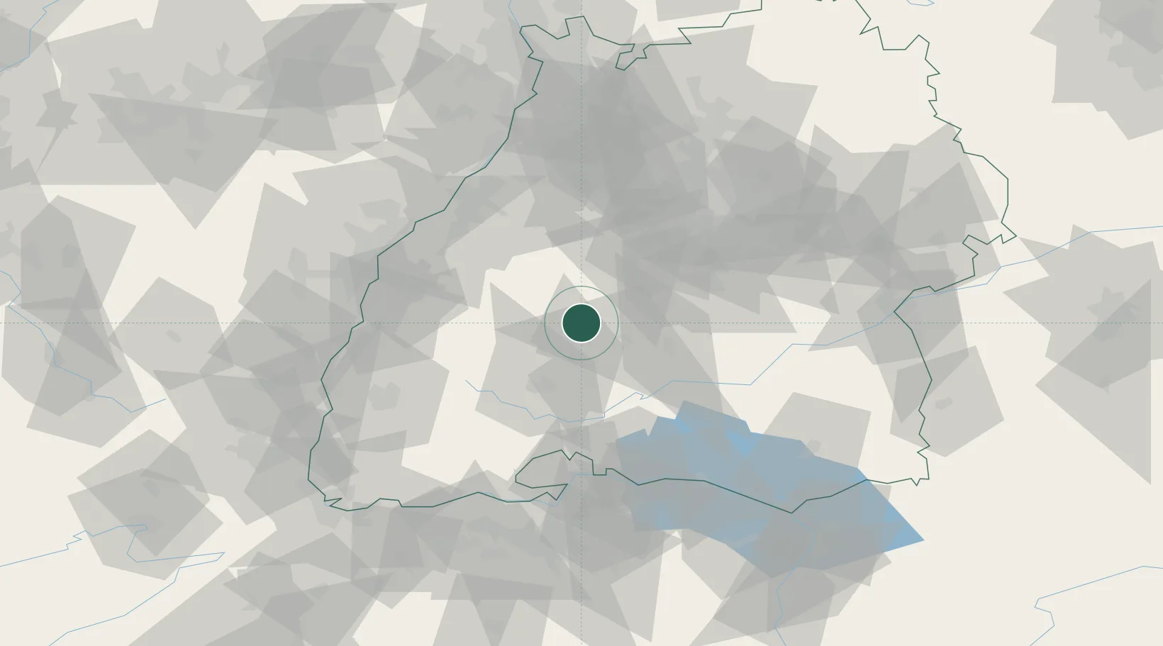
Location
Nearby Logistics Neighbours
Cities
- 1Oberndorf am Neckar9 km
- 2Epfendorf11 km
- 3Dormettingen13 km
- 4Fluorn14 km
- 5Horb15 km
Ports
- 1Bruxelles420 km
- 2Porto Di Lido-Venezia433 km
- 3Genova438 km
- 4Porto Di Chioggia442 km
- 5Antwerpen443 km
Airports
- 1Donaueschingen-Villingen Airfield41 km
- 2Stuttgart Airport57 km
- 3Mengen-Hohentengen Airfield61 km
- 4Lahr Airport62 km
- 5Karlsruhe Baden-Baden Airport66 km
Trade Zones
- 1ZFU Neuhof71 km
- 2ZFU Hautepierre78 km
- 3ZFU Mulhouse118 km
- 4ZFU La Cité Behren-lès-Forbach158 km
- 5ZFU Belfort158 km
DatabookThe Record of Consolidated Knowledge
Germany beyond logistics?