Transport Functions
Rail
Road
Multimodal
Hub Profile
Place type
Local administrative seat
Region
Baden-Wurttemberg
Population
1,101
Time zone
Europe/Berlin
Elevation
651 m
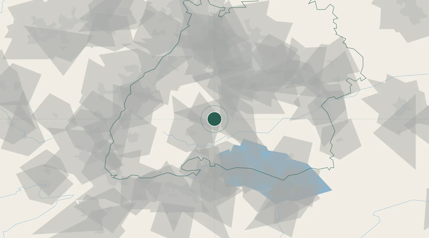
Location
Nearby Logistics Neighbours
Cities
- 1Dotternhausen3 km
- 2Wehingen10 km
- 3Horgen11 km
- 4Epfendorf13 km
- 5Vöhringen13 km
Ports
- 1Porto Di Lido-Venezia419 km
- 2Genova427 km
- 3Porto Di Chioggia429 km
- 4Nogaro432 km
- 5Bruxelles433 km
Airports
- 1Donaueschingen-Villingen Airfield34 km
- 2Mengen-Hohentengen Airfield49 km
- 3Stuttgart Airport61 km
- 4Lahr Airport71 km
- 5Karlsruhe Baden-Baden Airport79 km
Trade Zones
- 1ZFU Neuhof82 km
- 2ZFU Hautepierre89 km
- 3ZFU Mulhouse119 km
- 4ZFU Belfort160 km
- 5ZFU Montbéliard169 km
DatabookThe Record of Consolidated Knowledge
Germany beyond logistics?