Transport Functions
Port
Multimodal
Hub Profile
Place type
Populated place
Region
North Rhine-Westphalia
Time zone
Europe/Berlin
Elevation
55 m
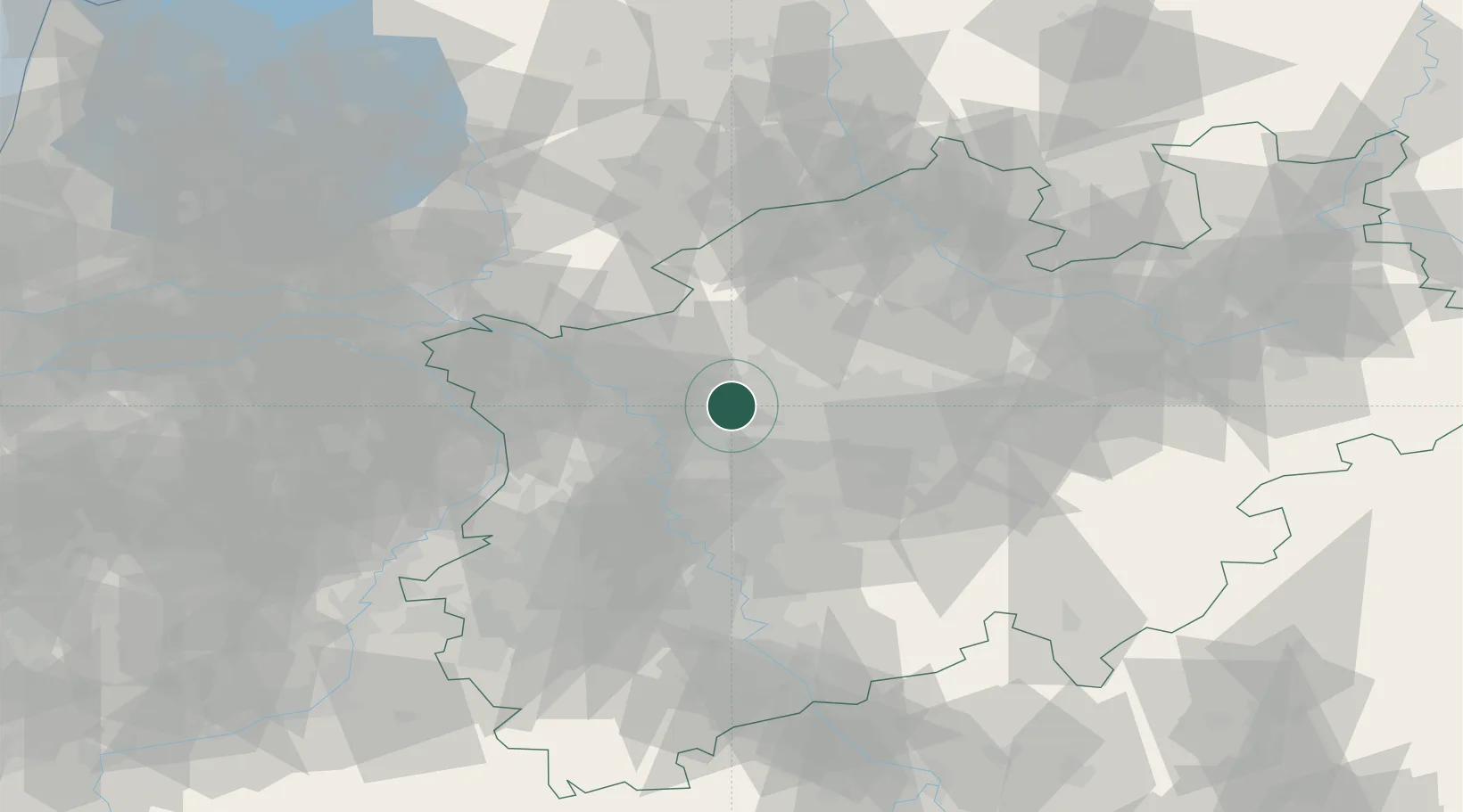
Location
Nearby Logistics Neighbours
Cities
- 1Gladbeck5 km
- 2Dorsten8 km
- 3Beckhausen8 km
- 4Neuessen12 km
- 5Brassert13 km
Airports
- 1Düsseldorf Airport36 km
- 2Dortmund Airport48 km
- 3Mönchengladbach Airport51 km
- 4Weeze (Niederrhein) Airport55 km
- 5Twente Airport75 km
Trade Zones
- 1Freeport of Duisburg29 km
- 2Rheinische Revier SWZ86 km
- 3Freeport of Emden194 km
- 4Freeport of Bremerhaven (Freihafen Bremerhaven)208 km
- 5Luxembourg Free Port224 km
DatabookThe Record of Consolidated Knowledge
Germany beyond logistics?