Transport Functions
Port
Rail
Road
Hub Profile
Place type
Local administrative seat
Region
North Rhine-Westphalia
Population
79,981
Time zone
Europe/Berlin
Elevation
36 m
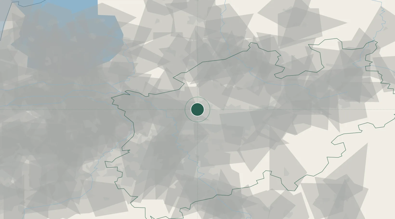
Location
Nearby Logistics Neighbours
Cities
- 1Kirchhellen8 km
- 2Brassert8 km
- 3Gladbeck11 km
- 4Huls12 km
- 5Beckhausen12 km
Airports
- 1Düsseldorf Airport44 km
- 2Dortmund Airport48 km
- 3Weeze (Niederrhein) Airport57 km
- 4Mönchengladbach Airport58 km
- 5Twente Airport68 km
Trade Zones
- 1Freeport of Duisburg36 km
- 2Rheinische Revier SWZ94 km
- 3Freeport of Emden186 km
- 4Freeport of Bremerhaven (Freihafen Bremerhaven)200 km
- 5Luxembourg Free Port232 km
DatabookThe Record of Consolidated Knowledge
Germany beyond logistics?