Transport Functions
Multimodal
Hub Profile
Place type
Populated place
Region
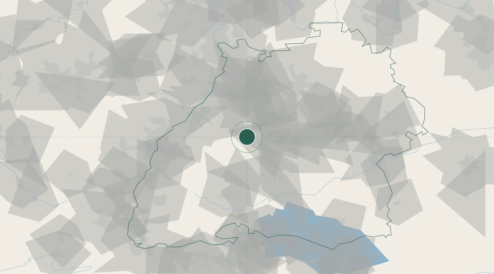
Baden-Wurttemberg
Population
5,540
Time zone
Europe/Berlin
Elevation
584 m
Location
Nearby Logistics Neighbours
Cities
- 1Ebhausen8 km
- 2Rohrdorf (Schwarzwald)9 km
- 3Bad Liebenzell13 km
- 4Gärtringen15 km
- 5Ehningen17 km
Ports
- 1Bruxelles398 km
- 2Antwerpen420 km
- 3Dordrecht455 km
- 4Porto Di Lido-Venezia457 km
- 5Hansweert458 km
Airports
- 1Stuttgart Airport39 km
- 2Karlsruhe Baden-Baden Airport48 km
- 3Lahr Airport71 km
- 4Donaueschingen-Villingen Airfield76 km
- 5Strasbourg Airport80 km
Trade Zones
- 1ZFU Neuhof70 km
- 2ZFU Hautepierre74 km
- 3ZFU La Cité Behren-lès-Forbach142 km
- 4ZFU Mulhouse142 km
- 5ZFU Belfort180 km
DatabookThe Record of Consolidated Knowledge
Germany beyond logistics?