Transport Functions
Multimodal
Hub Profile
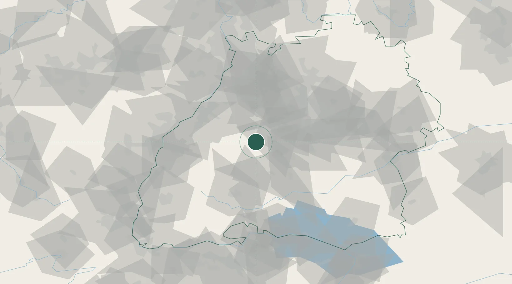
Region
BW
Location
Nearby Logistics Neighbours
Cities
- 1Ebhausen2 km
- 2Neubulach9 km
- 3Bondorf/Boblingen11 km
- 4Horb12 km
- 5Gärtringen17 km
Ports
- 1Bruxelles404 km
- 2Antwerpen426 km
- 3Porto Di Lido-Venezia450 km
- 4Nogaro460 km
- 5Porto Di Chioggia461 km
Airports
- 1Stuttgart Airport41 km
- 2Karlsruhe Baden-Baden Airport51 km
- 3Donaueschingen-Villingen Airfield67 km
- 4Lahr Airport68 km
- 5Mengen-Hohentengen Airfield76 km
Trade Zones
- 1ZFU Neuhof69 km
- 2ZFU Hautepierre74 km
- 3ZFU Mulhouse136 km
- 4ZFU La Cité Behren-lès-Forbach146 km
- 5ZFU Belfort174 km
DatabookThe Record of Consolidated Knowledge
Germany beyond logistics?