UN/LOCODE hub · Germany
DEGTN

Gärtringen

48.6500°, 8.9000°
11,760
Population
3
Transport functions

Transport Functions

Rail
Road
Multimodal
UN/LOCODE

Hub Profile

Place type
Local administrative seat
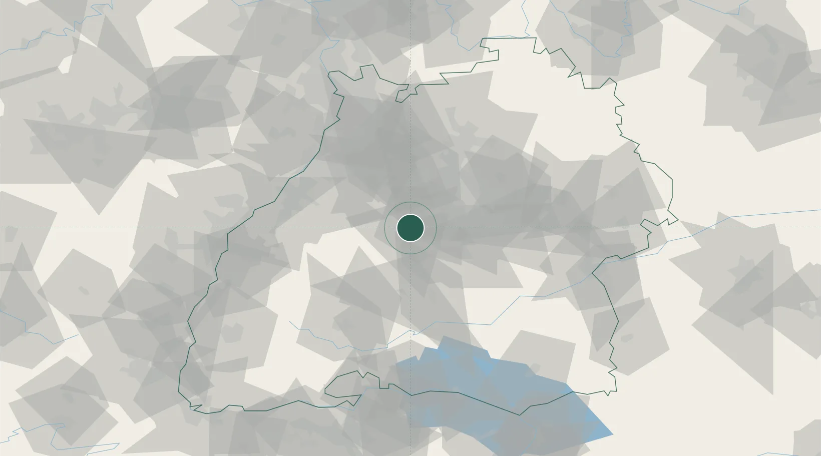
GeoNames
Region
Baden-Wurttemberg
GeoNames
Population
11,760
GeoNames
Time zone
Europe/Berlin
GeoNames
Elevation
471 m
GeoNames

Location

Location of DEGTN
Natural Earth 10m (public domain) · Baden-Wurttemberg · DEGTN · 48.65, 8.90GoogleOSMYandex

Nearby Logistics Neighbours

Cities
  1. 1Ehningen3 km
  2. 2Holzgerlingen9 km
  3. 3Sindelfingen10 km
  4. 4Neubulach15 km
  5. 5Bondorf/Boblingen16 km
Nearest neighbours — logibook spatial index (haversine) over the source coordinates
Ports
  1. 1Bruxelles409 km
  2. 2Antwerpen430 km
  3. 3Porto Di Lido-Venezia448 km
  4. 4Nogaro455 km
  5. 5Porto Di Chioggia459 km
Nearest neighbours — logibook spatial index (haversine) over the source coordinates
Airports
  1. 1Stuttgart Airport24 km
  2. 2Karlsruhe Baden-Baden Airport62 km
  3. 3Mengen-Hohentengen Airfield75 km
  4. 4Donaueschingen-Villingen Airfield80 km
  5. 5Adolf Würth Airport83 km
Nearest neighbours — logibook spatial index (haversine) over the source coordinates
Trade Zones
  1. 1ZFU Neuhof85 km
  2. 2ZFU Hautepierre89 km
  3. 3ZFU Mulhouse153 km
  4. 4ZFU La Cité Behren-lès-Forbach155 km
  5. 5ZFU Belfort191 km
Nearest neighbours — logibook spatial index (haversine) over the source coordinates
DatabookThe Record of Consolidated Knowledge
Germany beyond logistics?
Browse databook

All Sources

LocationsUN/LOCODE
UN/LOCODE — free
LocationsGeoNames
CC BY 4.0
Portsthe NGA World Port Index
Public domain (US gov)
AirportsOurAirports
Public domain
Trade Zonesthe World Bank SEZ database
CC BY 4.0
Trade ZonesOpen Zone Map
CC BY
← Germany locations