Transport Functions
Multimodal
Hub Profile
Place type
Local administrative seat
Region
Baden-Wurttemberg
Population
4,744
Time zone
Europe/Berlin
Elevation
462 m
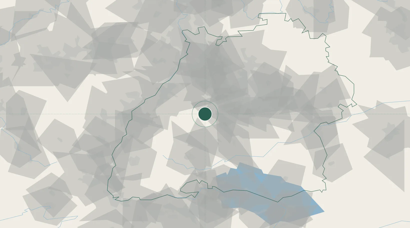
Location
Nearby Logistics Neighbours
Cities
- 1Rohrdorf (Schwarzwald)2 km
- 2Neubulach8 km
- 3Bondorf/Boblingen13 km
- 4Horb13 km
- 5Gärtringen18 km
Ports
- 1Bruxelles402 km
- 2Antwerpen424 km
- 3Porto Di Lido-Venezia453 km
- 4Dordrecht460 km
- 5Nogaro462 km
Airports
- 1Stuttgart Airport41 km
- 2Karlsruhe Baden-Baden Airport49 km
- 3Lahr Airport67 km
- 4Donaueschingen-Villingen Airfield69 km
- 5Strasbourg Airport78 km
Trade Zones
- 1ZFU Neuhof68 km
- 2ZFU Hautepierre73 km
- 3ZFU Mulhouse136 km
- 4ZFU La Cité Behren-lès-Forbach144 km
- 5ZFU Belfort174 km
DatabookThe Record of Consolidated Knowledge
Germany beyond logistics?