Transport Functions
Rail
Road
Hub Profile
Place type
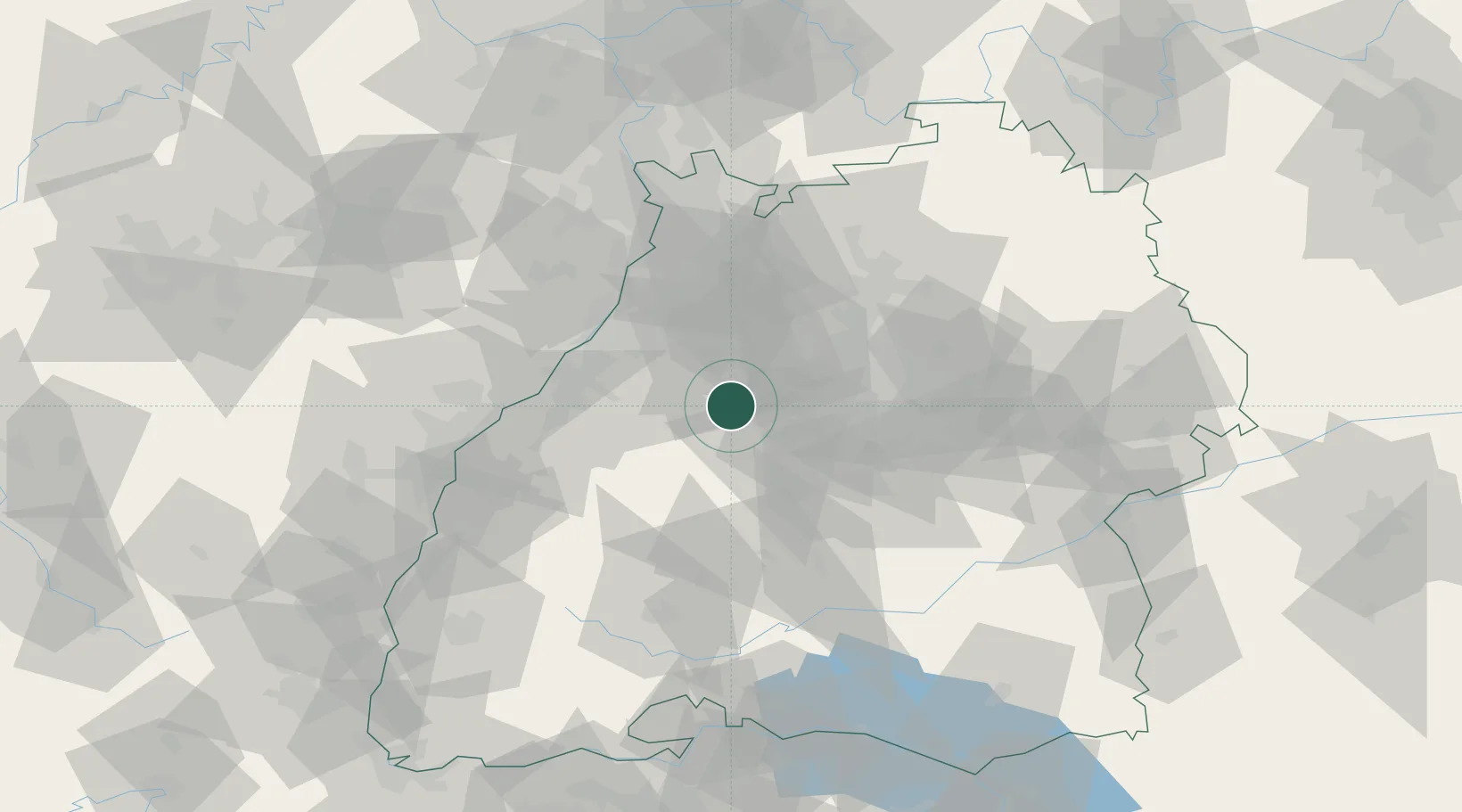
Populated place
Region
Baden-Wurttemberg
Population
9,616
Time zone
Europe/Berlin
Elevation
332 m
Location
Nearby Logistics Neighbours
Cities
- 1Heimsheim10 km
- 2Neubulach13 km
- 3Neuenbürg13 km
- 4Ispringen17 km
- 5Niebelsbach18 km
Airports
- 1Stuttgart Airport37 km
- 2Karlsruhe Baden-Baden Airport48 km
- 3Lahr Airport80 km
- 4Mannheim-City Airport80 km
- 5Strasbourg Airport85 km
Trade Zones
- 1ZFU Neuhof76 km
- 2ZFU Hautepierre79 km
- 3ZFU La Cité Behren-lès-Forbach139 km
- 4ZFU Mulhouse153 km
- 5ZFU Maxéville, Laxou, et de Nancy189 km
DatabookThe Record of Consolidated Knowledge
Germany beyond logistics?