Transport Functions
Rail
Road
Hub Profile
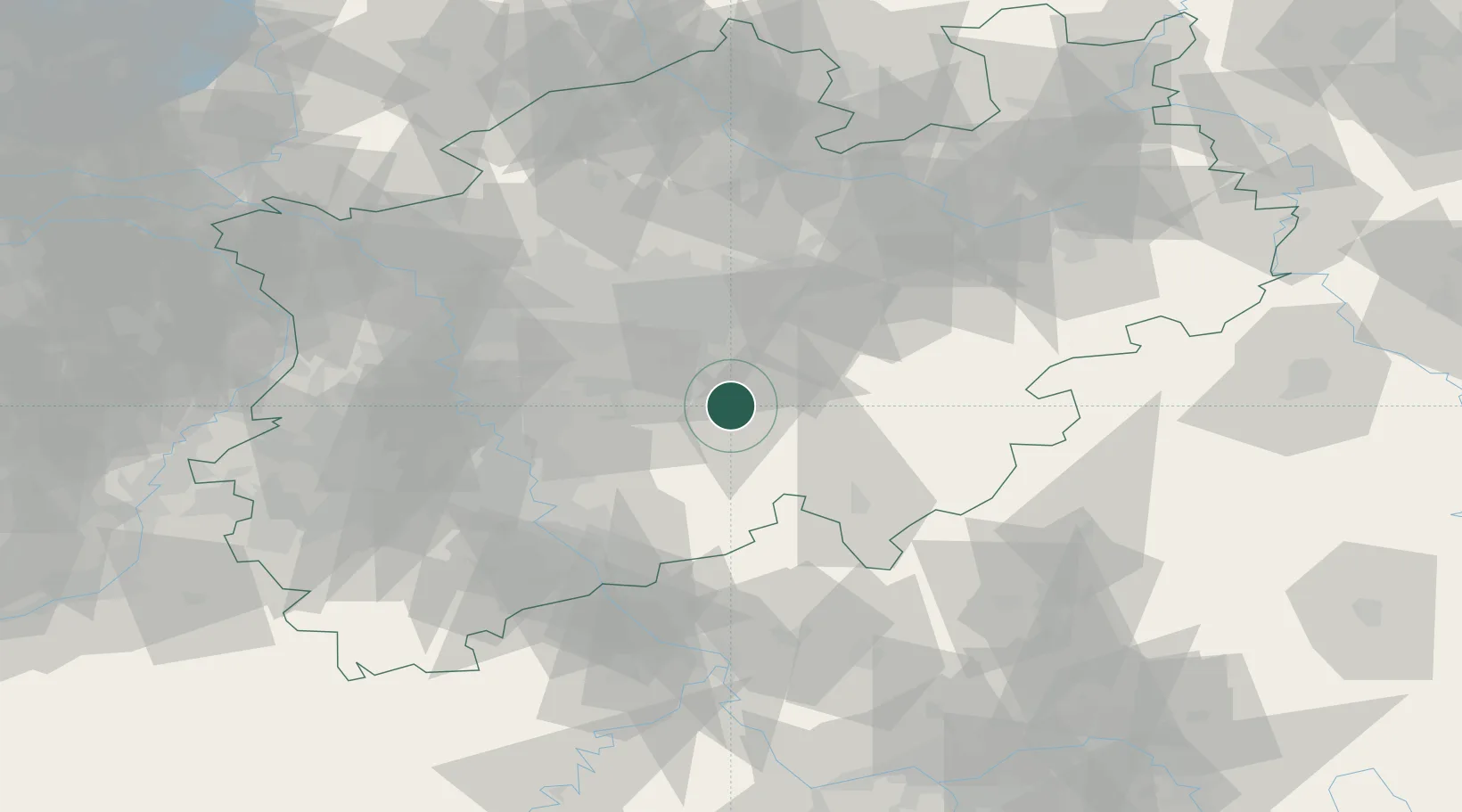
Region
NW
Location
Nearby Logistics Neighbours
Cities
- 1Bärenstein7 km
- 2Nachrodt-Wiblingwerde11 km
- 3Breckerfeld12 km
- 4Letmathe17 km
- 5Hagen18 km
Airports
- 1Dortmund Airport34 km
- 2Cologne Bonn Airport51 km
- 3Düsseldorf Airport60 km
- 4Siegerland Airport65 km
- 5Mönchengladbach Airport78 km
Trade Zones
DatabookThe Record of Consolidated Knowledge
Germany beyond logistics?