Transport Functions
Multimodal
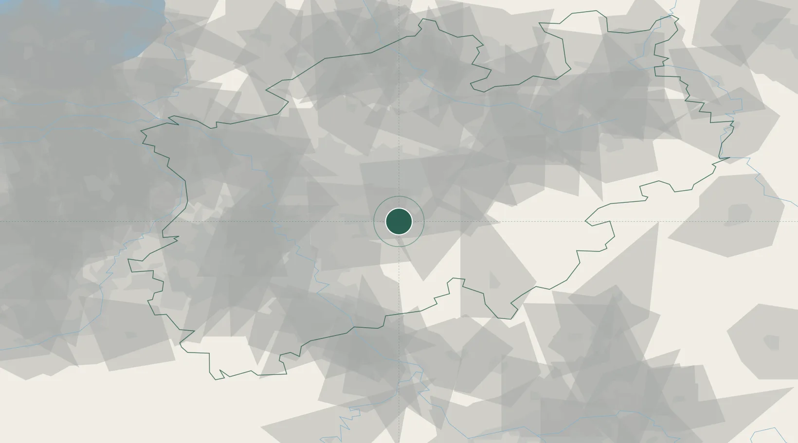
Hub Profile
Place type
Populated place
Region
North Rhine-Westphalia
Population
9,217
Time zone
Europe/Berlin
Elevation
388 m
Location
Nearby Logistics Neighbours
Cities
- 1Hagen9 km
- 2Lüdenscheid12 km
- 3Nachrodt-Wiblingwerde14 km
- 4Letmathe15 km
- 5Wiehagen17 km
Airports
- 1Dortmund Airport30 km
- 2Düsseldorf Airport49 km
- 3Cologne Bonn Airport50 km
- 4Mönchengladbach Airport67 km
- 5Nörvenich Air Base74 km
Trade Zones
- 1Freeport of Duisburg64 km
- 2Rheinische Revier SWZ86 km
- 3Luxembourg Free Port201 km
- 4Freeport of Bremerhaven (Freihafen Bremerhaven)222 km
- 5Freeport of Emden231 km
DatabookThe Record of Consolidated Knowledge
Germany beyond logistics?