Transport Functions
Rail
Road
Hub Profile
Place type
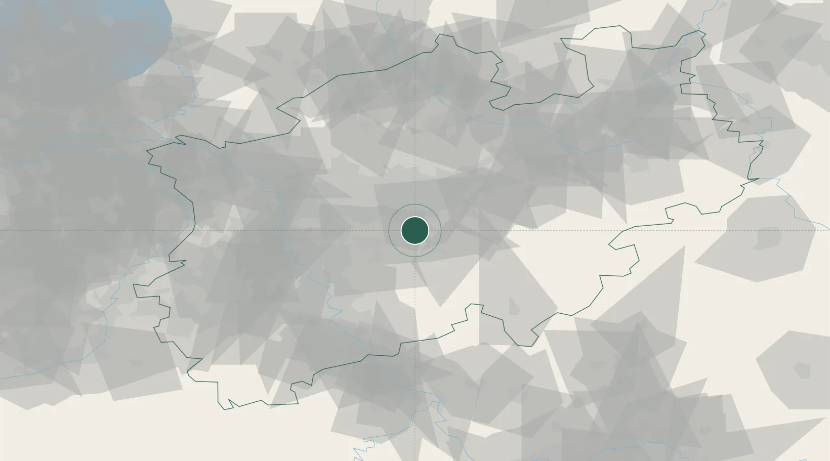
District seat
Region
North Rhine-Westphalia
Population
198,972
Time zone
Europe/Berlin
Elevation
111 m
Location
Nearby Logistics Neighbours
Cities
- 1Breckerfeld9 km
- 2Letmathe9 km
- 3Nachrodt-Wiblingwerde13 km
- 4Sprockhövel15 km
- 5Lüdenscheid18 km
Airports
- 1Dortmund Airport21 km
- 2Düsseldorf Airport49 km
- 3Cologne Bonn Airport58 km
- 4Mönchengladbach Airport68 km
- 5Nörvenich Air Base81 km
Trade Zones
- 1Freeport of Duisburg62 km
- 2Rheinische Revier SWZ90 km
- 3Luxembourg Free Port210 km
- 4Freeport of Bremerhaven (Freihafen Bremerhaven)213 km
- 5Freeport of Emden222 km
DatabookThe Record of Consolidated Knowledge
Germany beyond logistics?