UN/LOCODE hub · Germany
DENTW

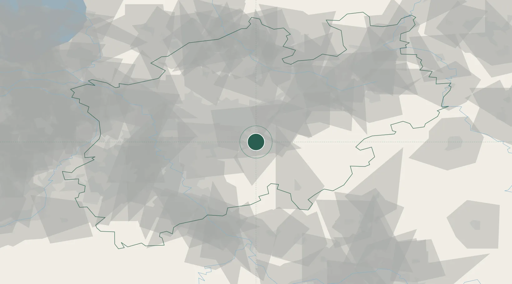
Nachrodt-Wiblingwerde

51.3167°, 7.6500°
6,860
Population
1
Transport functions

Transport Functions

Multimodal
UN/LOCODE

Hub Profile

Place type
Local administrative seat
GeoNames
Region
North Rhine-Westphalia
GeoNames
Population
6,860
GeoNames
Time zone
Europe/Berlin
GeoNames
Elevation
419 m
GeoNames

Location

Location of DENTW
Natural Earth 10m (public domain) · North Rhine-Westphalia · DENTW · 51.32, 7.65GoogleOSMYandex

Nearby Logistics Neighbours

Cities
  1. 1Letmathe7 km
  2. 2Bärenstein10 km
  3. 3Lüdenscheid11 km
  4. 4Hagen13 km
  5. 5Breckerfeld14 km
Nearest neighbours — logibook spatial index (haversine) over the source coordinates
Ports
  1. 1Papenburg199 km
  2. 2Oldenburg204 km
  3. 3Leer214 km
  4. 4Dordrecht215 km
  5. 5Bremen216 km
Nearest neighbours — logibook spatial index (haversine) over the source coordinates
Airports
  1. 1Dortmund Airport23 km
  2. 2Cologne Bonn Airport61 km
  3. 3Düsseldorf Airport62 km
  4. 4Siegerland Airport74 km
  5. 5Paderborn Lippstadt Airport75 km
Nearest neighbours — logibook spatial index (haversine) over the source coordinates
Trade Zones
  1. 1Freeport of Duisburg75 km
  2. 2Rheinische Revier SWZ100 km
  3. 3Freeport of Bremerhaven (Freihafen Bremerhaven)212 km
  4. 4Luxembourg Free Port212 km
  5. 5Freeport of Emden227 km
Nearest neighbours — logibook spatial index (haversine) over the source coordinates
DatabookThe Record of Consolidated Knowledge
Germany beyond logistics?
Browse databook

All Sources

LocationsUN/LOCODE
UN/LOCODE — free
LocationsGeoNames
CC BY 4.0
Portsthe NGA World Port Index
Public domain (US gov)
AirportsOurAirports
Public domain
Trade Zonesthe World Bank SEZ database
CC BY 4.0
Trade ZonesOpen Zone Map
CC BY
← Germany locations