Transport Functions
Rail
Road
Hub Profile
Place type
Local administrative seat
Region
Saxony
Population
2,804
Time zone
Europe/Berlin
Elevation
735 m
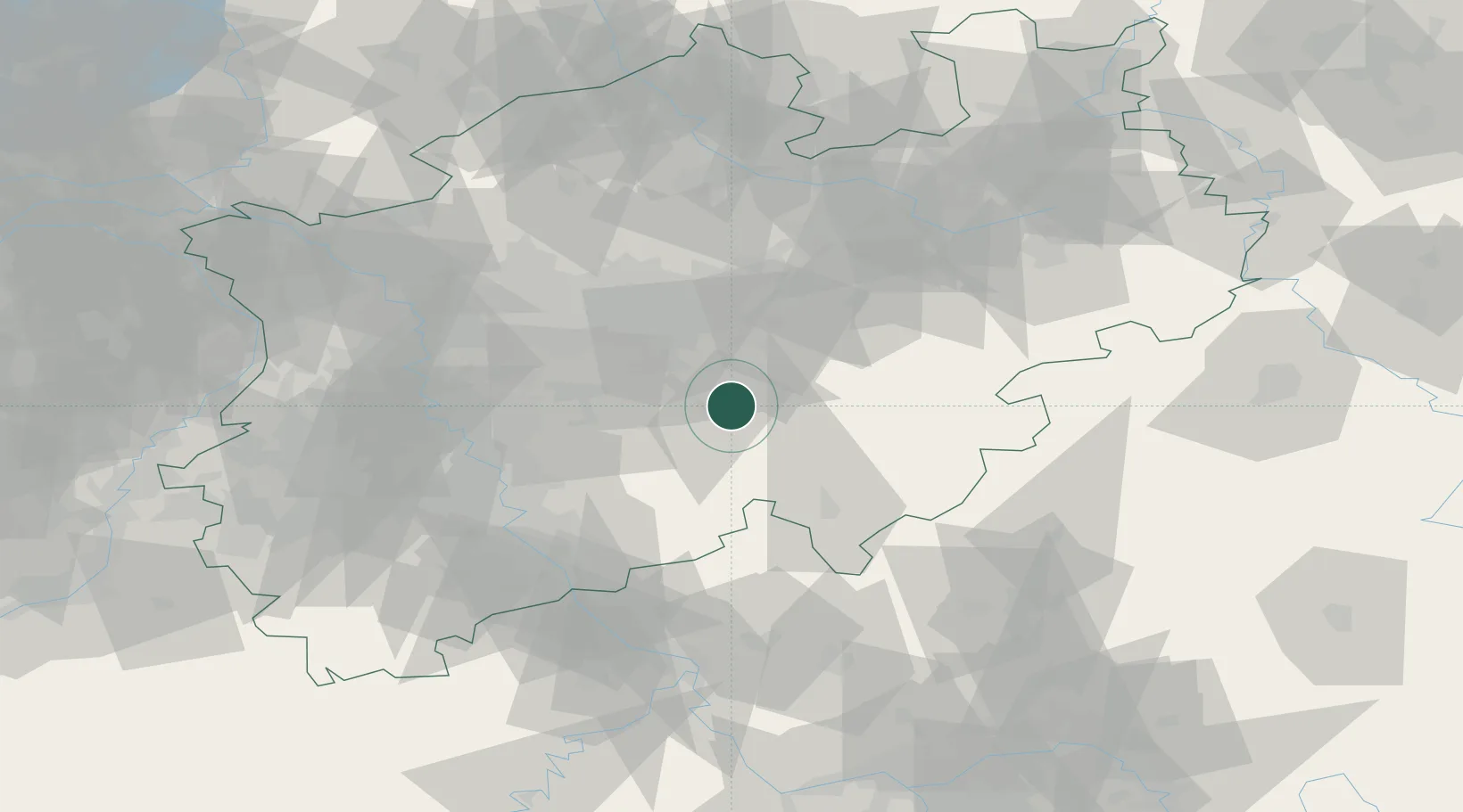
Location
Nearby Logistics Neighbours
Cities
- 1Lüdenscheid7 km
- 2Nachrodt-Wiblingwerde10 km
- 3Balve15 km
- 4Letmathe17 km
- 5Breckerfeld18 km
Airports
- 1Dortmund Airport33 km
- 2Cologne Bonn Airport57 km
- 3Siegerland Airport64 km
- 4Düsseldorf Airport66 km
- 5Paderborn Lippstadt Airport75 km
Trade Zones
- 1Freeport of Duisburg82 km
- 2Rheinische Revier SWZ100 km
- 3Luxembourg Free Port206 km
- 4Freeport of Bremerhaven (Freihafen Bremerhaven)219 km
- 5Freeport of Emden237 km
DatabookThe Record of Consolidated Knowledge
Germany beyond logistics?