Medium airport · Germany
Siegerland AirportEDGS
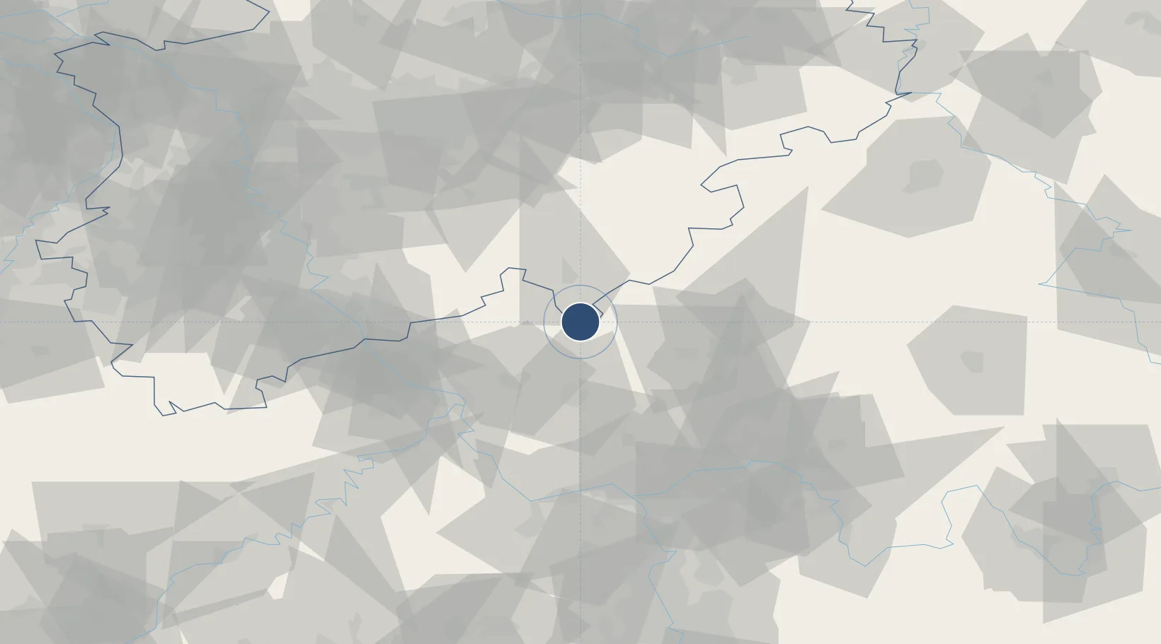
50.7077°, 8.0830°
5,315 ft
Longest runway
3
Runways
1,966 ft
Elevation
Runway & Layout

Radio Frequencies
ATIS
128.705 MHz
Siegerland ATIS
AFIS
123.525 MHz
Langen Information
FIS
120.38 MHz
Siegerland Information
RDR
124.9 MHz
LANGEN RADAR
Navaids
SIL NDB Siegerland 489 kHz
SLD DME Siegerland 108.05 MHz
Runways · 3
| Runway | Dimensions | Surface | True heading | Lit |
|---|---|---|---|---|
| 13/31 | 5,315 × 98ft | Asphalt | 128° | ✓ |
| 13L/31R | 1,969 × 98ft | Grass | 128° | — |
| 04/22 | 1,640 × 98ft | Grass | 038° | — |
Airport Specifications
IATA code
SGE
ICAO code
EDGS
Airport class
Medium airport
Scheduled service
No
Runway surface
Asphalt
Served city
Burbach
Location
Nearby Logistics Neighbours
Airports
- 1Cologne Bonn Airport68 km
- 2Wiesbaden Army Airfield75 km
- 3Mainz-Finthen Airfield82 km
- 4Frankfurt Main Airport83 km
- 5Frankfurt-Egelsbach Airport92 km
Cities
- 1Hof7 km
- 2Derschen7 km
- 3Breitscheid9 km
- 4Neustadt9 km
- 5Stockhausen-Illfurth10 km
Trade Zones
- 1Rheinische Revier SWZ122 km
- 2Freeport of Duisburg133 km
- 3Luxembourg Free Port178 km
- 4ZFU La Cité Behren-lès-Forbach190 km
- 5ZFU Woippy-Metz222 km
DatabookThe Record of Consolidated Knowledge
Germany beyond logistics?