Transport Functions
Rail
Road
Hub Profile
Place type
Urban district
Region
North Rhine-Westphalia
Time zone
Europe/Berlin
Elevation
33 m
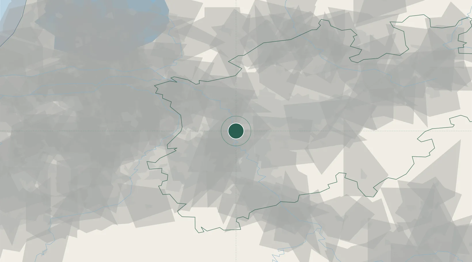
Location
Nearby Logistics Neighbours
Cities
- 1Krefeld6 km
- 2Lintorf Ratingen6 km
- 3Duisburg8 km
- 4Homberg12 km
- 5Vinn12 km
Airports
- 1Düsseldorf Airport7 km
- 2Mönchengladbach Airport22 km
- 3Weeze (Niederrhein) Airport51 km
- 4Nörvenich Air Base58 km
- 5Cologne Bonn Airport60 km
Trade Zones
- 1Freeport of Duisburg16 km
- 2Rheinische Revier SWZ55 km
- 3Luxembourg Free Port194 km
- 4Freeport of Emden223 km
- 5ZFU Ronde Couture229 km
DatabookThe Record of Consolidated Knowledge
Germany beyond logistics?