Transport Functions
Port
Road
Hub Profile
Place type
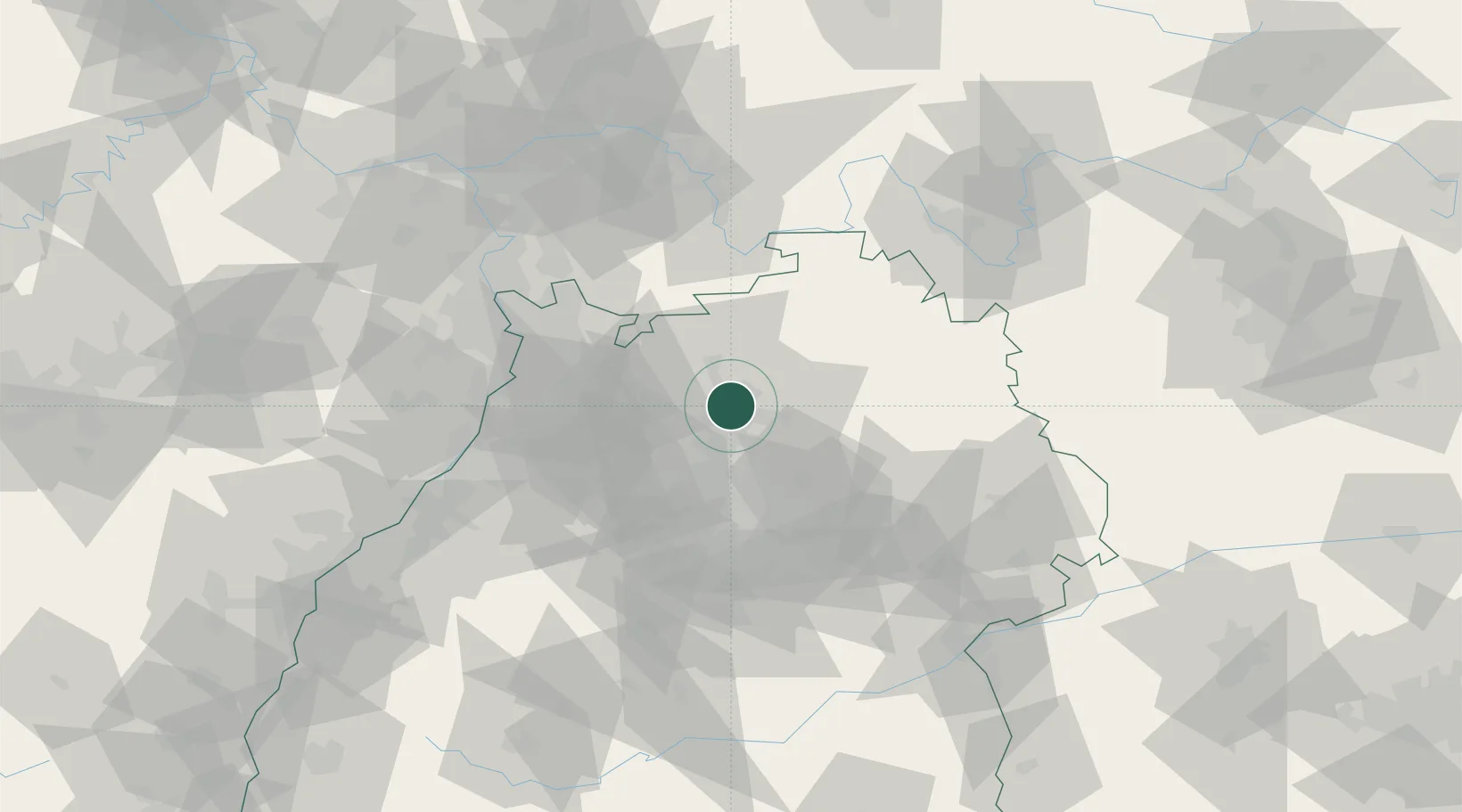
Populated place
Region
Baden-Wurttemberg
Time zone
Europe/Berlin
Elevation
161 m
Location
Nearby Logistics Neighbours
Cities
- 1Heilbronn5 km
- 2Oedheim5 km
- 3Erlenbach (Heilbronn)6 km
- 4Eberstadt9 km
- 5Neuenstadt am Kocher10 km
Airports
- 1Adolf Würth Airport43 km
- 2Stuttgart Airport57 km
- 3Mannheim-City Airport58 km
- 4Niederstetten Army Air Base59 km
- 5Frankfurt-Egelsbach Airport94 km
Trade Zones
- 1ZFU Neuhof128 km
- 2ZFU Hautepierre129 km
- 3ZFU La Cité Behren-lès-Forbach165 km
- 4ZFU Mulhouse212 km
- 5Luxembourg Free Port221 km
DatabookThe Record of Consolidated Knowledge
Germany beyond logistics?