Transport Functions
Multimodal
Hub Profile
Place type
Local administrative seat
Region
Baden-Wurttemberg
Population
5,921
Time zone
Europe/Berlin
Elevation
160 m
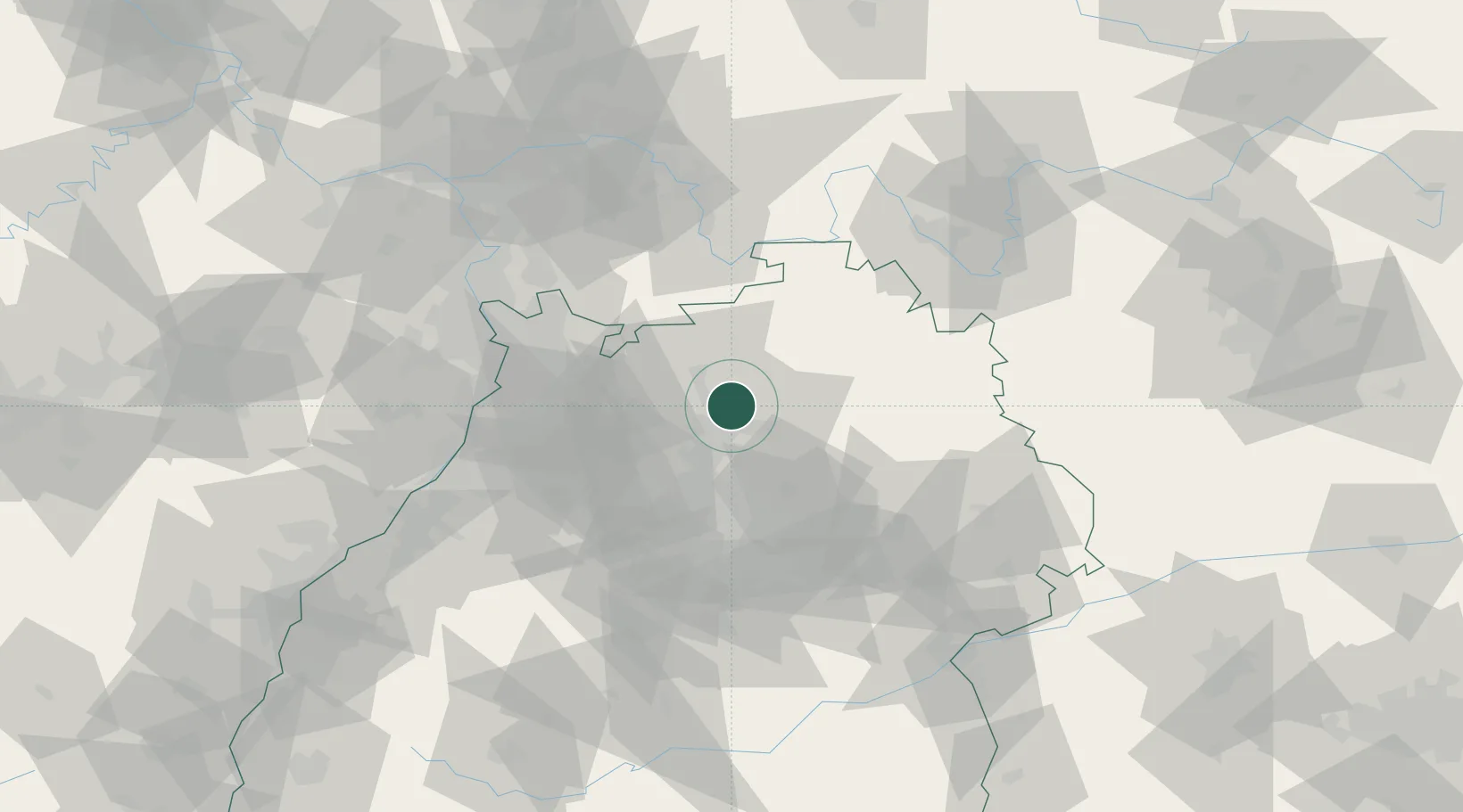
Location
Nearby Logistics Neighbours
Cities
- 1Kochendorf5 km
- 2Neudenau6 km
- 3Neuenstadt am Kocher6 km
- 4Erlenbach (Heilbronn)8 km
- 5Siglingen8 km
Airports
- 1Adolf Würth Airport41 km
- 2Niederstetten Army Air Base54 km
- 3Mannheim-City Airport60 km
- 4Stuttgart Airport61 km
- 5Frankfurt-Egelsbach Airport92 km
Trade Zones
- 1ZFU Neuhof133 km
- 2ZFU Hautepierre134 km
- 3ZFU La Cité Behren-lès-Forbach169 km
- 4ZFU Mulhouse217 km
- 5Luxembourg Free Port224 km
DatabookThe Record of Consolidated Knowledge
Germany beyond logistics?