Medium airport · Germany
Frankfurt-Egelsbach AirportEDFE
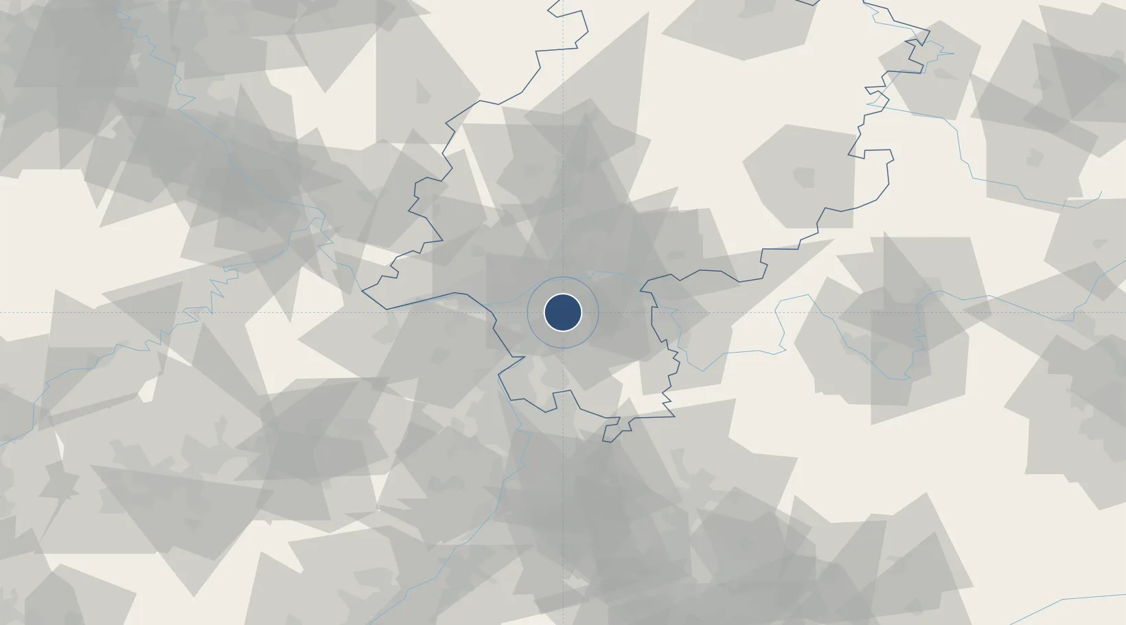
49.9600°, 8.6430°
4,593 ft
Longest runway
2
Runways
384 ft
Elevation
Runway & Layout

Radio Frequencies
AFIS
119.15 MHz
LANGEN INFORMATION
INFO
118.405 MHz
Egelsbach Radio
RMP
121.73 MHz
Egelsbach Apron / Vorfeld
Navaids
EH NDB Egelsbach 386 kHz
Runways · 2
| Runway | Dimensions | Surface | True heading | Lit |
|---|---|---|---|---|
| 08/26 | 4,593 × 82ft | Asphalt | 084° | ✓ |
| 08R/26L | 2,198 × 98ft | Grass | 086° | — |
Airport Specifications
ICAO code
EDFE
Airport class
Medium airport
Scheduled service
No
Runway surface
Asphalt
Served city
Egelsbach
Location
Nearby Logistics Neighbours
Airports
- 1Frankfurt Main Airport10 km
- 2Wiesbaden Army Airfield25 km
- 3Mainz-Finthen Airfield36 km
- 4Mannheim-City Airport55 km
- 5Siegerland Airport92 km
Cities
- 1Erzhausen1 km
- 2Neu Isenburg11 km
- 3Gross-Gerau11 km
- 4Lorzweiler13 km
- 5Rossdorf14 km
Trade Zones
- 1ZFU La Cité Behren-lès-Forbach152 km
- 2ZFU Hautepierre167 km
- 3ZFU Neuhof170 km
- 4Luxembourg Free Port177 km
- 5Rheinische Revier SWZ192 km
DatabookThe Record of Consolidated Knowledge
Germany beyond logistics?