Transport Functions
Multimodal
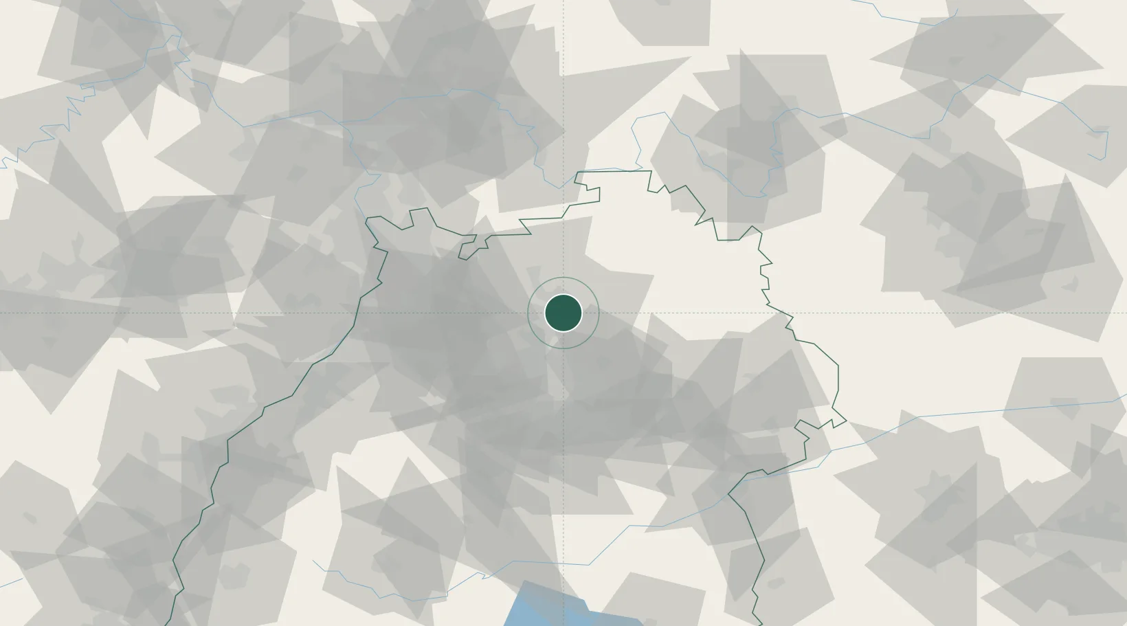
Hub Profile
Region
BW
Location
Nearby Logistics Neighbours
Cities
- 1Eberstadt4 km
- 2Heilbronn4 km
- 3Kochendorf6 km
- 4Oedheim8 km
- 5Neuenstadt am Kocher9 km
Airports
- 1Adolf Würth Airport38 km
- 2Stuttgart Airport53 km
- 3Niederstetten Army Air Base56 km
- 4Mannheim-City Airport64 km
- 5Karlsruhe Baden-Baden Airport97 km
Trade Zones
- 1ZFU Neuhof130 km
- 2ZFU Hautepierre132 km
- 3ZFU La Cité Behren-lès-Forbach170 km
- 4ZFU Mulhouse212 km
- 5ZFU Metz226 km
DatabookThe Record of Consolidated Knowledge
Germany beyond logistics?